Sheepscar, Leeds
Map

Gallery

Facts and practical information
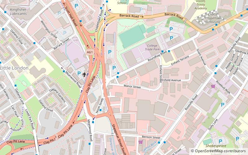
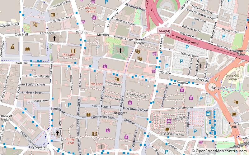
Sheepscar is an inner city district of Leeds in West Yorkshire England, lying to the north east of Leeds city centre. The district is in the City of Leeds Metropolitan Council. It is overlooked by the tower blocks of Little London and Lovell Park to the west, and gives way to Meanwood in the north-west, Chapeltown in the north-east and Burmantofts in the east. ()
Coordinates: 53°48'30"N, 1°31'60"W
Address
University (Sheepscar)Leeds
ContactAdd
Social media
Add
Day trips
Sheepscar – popular in the area (distance from the attraction)
Nearby attractions include: Merrion Centre, St John's Centre, Thackray Museum of Medicine, Leeds City Museum.
Frequently Asked Questions (FAQ)
Which popular attractions are close to Sheepscar?
Nearby attractions include Little London, Leeds (8 min walk), Lovell Park, Leeds (9 min walk), Buslingthorpe, Leeds (11 min walk), Mabgate, Leeds (11 min walk).
How to get to Sheepscar by public transport?
The nearest stations to Sheepscar:
Bus
Train
Ferry
Bus
- Lovell Park • Lines: 12, 13, 13A, 2 (12 min walk)
- Beckett Street / Granville Road • Lines: 50 (14 min walk)
Train
- Leeds (30 min walk)
Ferry
- Leeds Water Taxi Dock • Lines: Leeds Dock Water Taxi (32 min walk)


