Sadler's Yard, Manchester
Map

Map

Facts and practical information
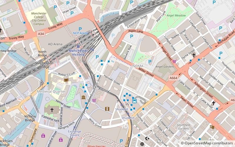
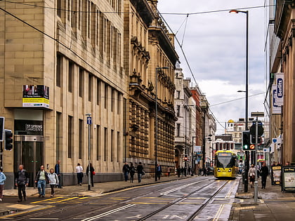
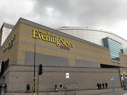
Sadler's Yard is a public square and event space in Manchester, England. Opened on 4 December 2015, it was the first new public space to be created in the city centre after Exchange Square in 1996. ()
Coordinates: 53°29'12"N, 2°14'23"W
Address
AncoatsManchester
ContactAdd
Social media
Add
Day trips
Sadler's Yard – popular in the area (distance from the attraction)
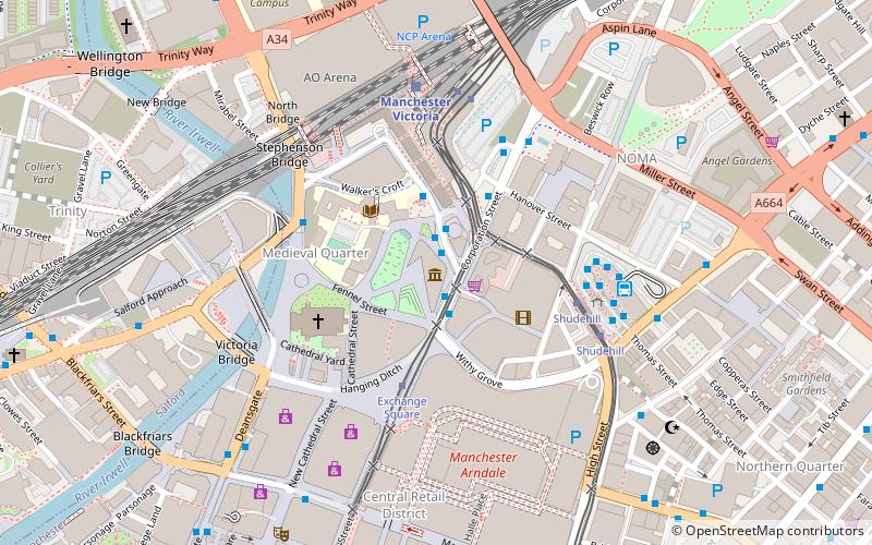
Nearby attractions include: Oldham Street, Corporation Street, Manchester Arndale, Spring Gardens.
Frequently Asked Questions (FAQ)
Which popular attractions are close to Sadler's Yard?
Nearby attractions include Hanover Building, Manchester (2 min walk), CIS Tower, Manchester (2 min walk), Corporation Street Bridge, Manchester (2 min walk), Manchester Castle, Manchester (3 min walk).
How to get to Sadler's Yard by public transport?
The nearest stations to Sadler's Yard:
Bus
Tram
Train
Bus
- Shudehill Interchange • Lines: 2, 2 (peak), 33, 33B, 8, 98 (3 min walk)
- Victoria Station Approach • Lines: 2, 2 (peak) (3 min walk)
Tram
- Victoria • Lines: Airp, Altr, Bury, EDid, Picc, Roch, Shaw, Vict (3 min walk)
- Shudehill • Lines: Airp, Altr, Bury, Picc, Vict (3 min walk)
Train
- Manchester Victoria (4 min walk)
- Salford Central (19 min walk)

 Metrolink
 Metrolink / Rail


