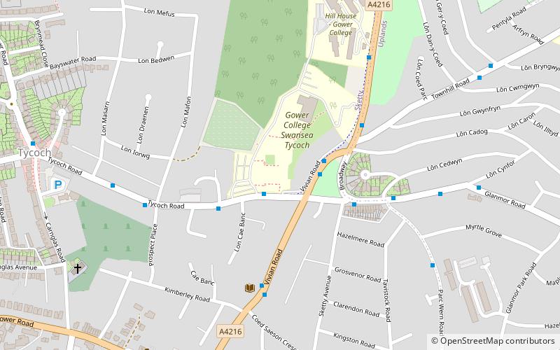
Hendrefoilan, Swansea
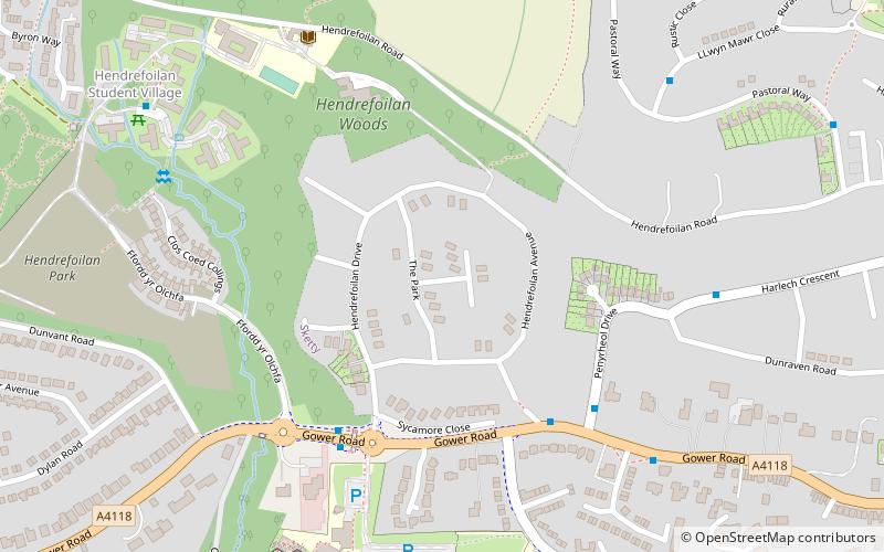
Map
Facts and practical information
Hendrefoilan is an area in Swansea, South Wales. The area overlaps Northwestern Sketty and Eastern Killay communities. ()
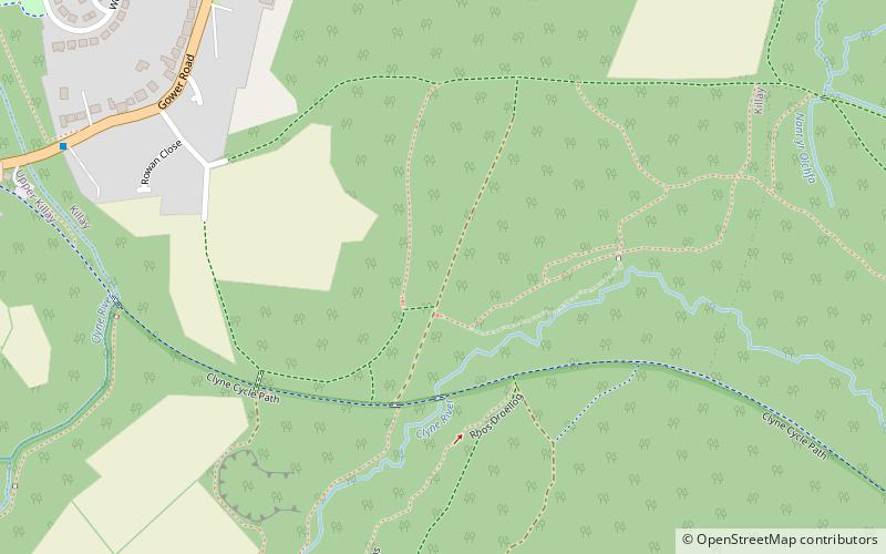
Coordinates: 51°37'20"N, 4°0'13"W
Address
SgetiSwansea
ContactAdd
Social media
Add
Day trips
Hendrefoilan – popular in the area (distance from the attraction)
Nearby attractions include: Wales National Pool, Singleton Park, Clyne Valley Country Park, Taliesin Arts Centre.
Frequently Asked Questions (FAQ)
Which popular attractions are close to Hendrefoilan?
Nearby attractions include Gower College Swansea, Swansea (22 min walk), Sketty Hall, Swansea (24 min walk).
How to get to Hendrefoilan by public transport?
The nearest stations to Hendrefoilan:
Bus
Bus
- Olchfa Comprehensive • Lines: 20 (5 min walk)
- Beaconsfield Way • Lines: 8 (6 min walk)

