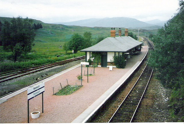
The Soldiers' Trenches, Ben Nevis and Glen Coe National Scenic Area

Gallery (2)
Map
Map
Gallery
Facts and practical information
The Soldiers' Trenches on Rannoch Moor are drainage ditches dug by British army soldiers in 1763-64 in an attempt to drain part of the Moor of Rannoch, Fortingall Parish, Perth and Kinross, Scotland. The aim was to produce agriculturally useful land for crops, grazing, etc. ()
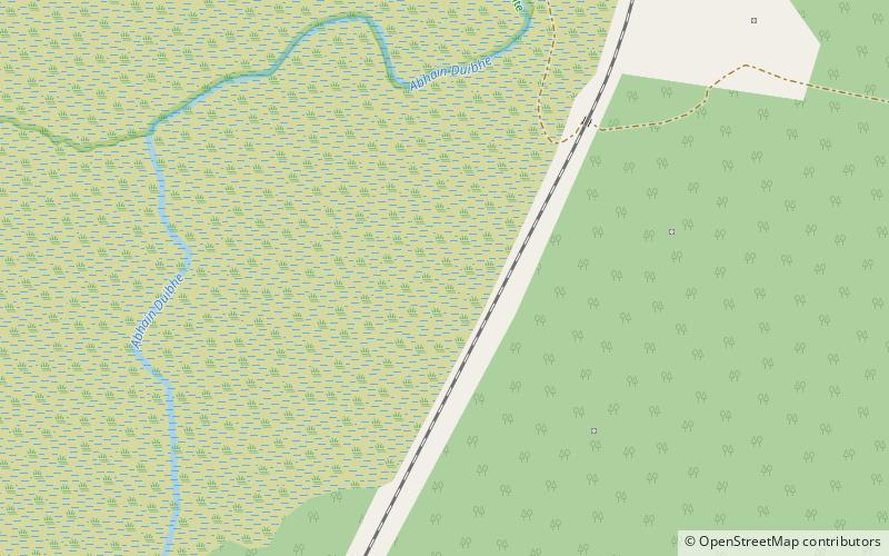
Coordinates: 56°38'2"N, 4°34'26"W
Address
Ben Nevis and Glen Coe National Scenic Area
ContactAdd
Social media
Add
Day trips


