Leicester Rowing Club, Leicester
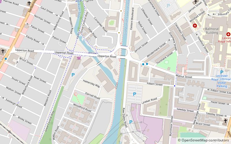
Map
Facts and practical information
De Montfort University Rowing Club is the rowing club of De Montfort University, Leicester, and is situated on the city canalised section of the River Soar. The club was founded in 1992 when Leicester Polytechnic changed to De Montfort University during the Further and Higher Education Act 1992. ()
Coordinates: 52°37'30"N, 1°8'37"W
Address
Upperton Rd, LE2 7AULeicester West (Westcotes)Leicester
ContactAdd
Social media
Add
Getting there by public transportation
Public transportation stops near this location
- Bus
- Train
 Bus
Bus
- Calculate routeSt Nicholas Circle 18 min walk
- Calculate routeOutside Frampton Avenue 25 min walk
- Calculate routeLeicester 25 min walk
Day trips


Frequently Asked Questions (FAQ)
Which popular attractions are close to Leicester Rowing Club?
Nearby attractions include Bede Island, Leicester (4 min walk), Shree Jalaram Prarthana Mandal, Leicester (10 min walk), De Montfort University, Leicester (10 min walk), Leicester Friars of the Sack, Leicester (11 min walk).
How to get to Leicester Rowing Club by public transport?
The nearest stations to Leicester Rowing Club:
Bus
Train
Bus
- St Nicholas Circle • Lines: 103, 104 (18 min walk)
- Outside Frampton Avenue • Lines: 48 (25 min walk)
Train
- Leicester (25 min walk)