Sandfields, Swansea
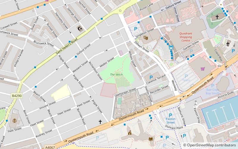
Map
Facts and practical information
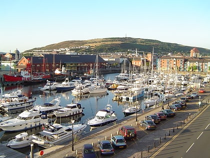
Sandfields is a district in Swansea, Wales bounded by St. Helen's Road to the north, Oystermouth Road and Swansea Bay to the south and Dillwyn Street to the east. The area is adjacent to and immediately west of Swansea city centre. The district does not exist officially as a geographical area or a local authority community area. Sandfields also does not have a specific postcode. ()
Coordinates: 51°36'59"N, 3°56'60"W
Address
CastellSwansea
ContactAdd
Social media
Add
Day trips
Sandfields – popular in the area (distance from the attraction)
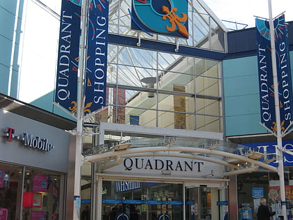
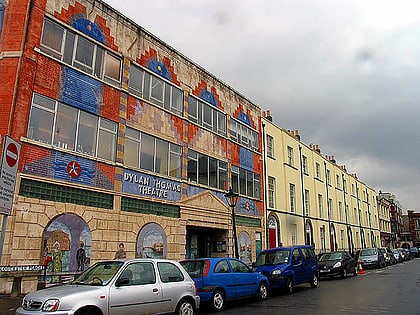
Nearby attractions include: Quadrant Shopping Centre, Dylan Thomas Centre, Plantasia, Swansea Castle.
Frequently Asked Questions (FAQ)
Which popular attractions are close to Sandfields?
Nearby attractions include Swansea Market, Swansea (3 min walk), Grand Theatre, Swansea (4 min walk), Swansea Mosque, Swansea (5 min walk), Swansea Civic Centre, Swansea (6 min walk).
How to get to Sandfields by public transport?
The nearest stations to Sandfields:
Bus
Train
Bus
- Argyle Street • Lines: 9A (4 min walk)
- Swansea City Bus Station • Lines: 20, 9A (5 min walk)
Train
- Swansea (20 min walk)
