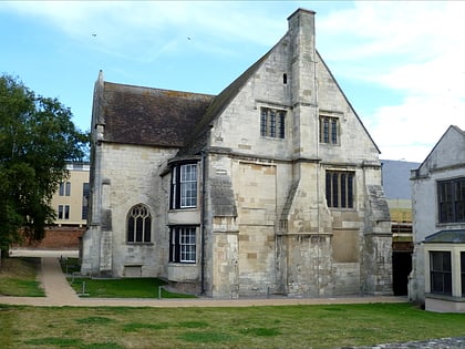
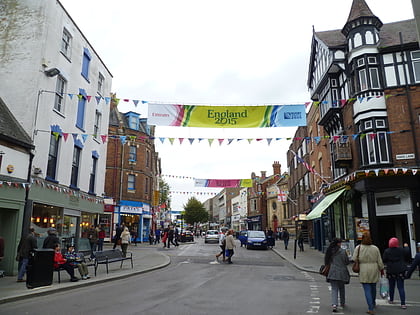
Tanners Hall, Gloucester
Map
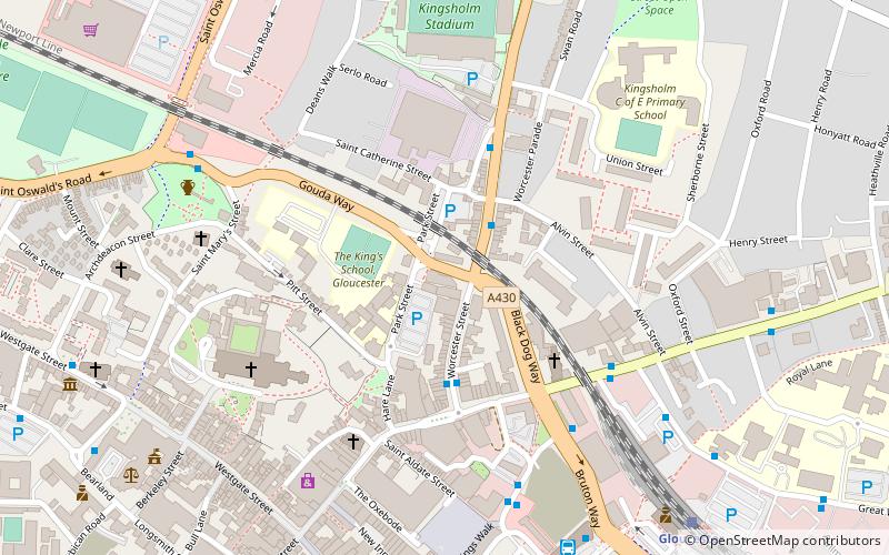
Map

Facts and practical information
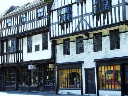
Tanners Hall was a 13th century town house and is now a ruin located on Gouda Way in Gloucester. It is the oldest non-religious building and only surviving medieval domestic stone house in the city. It became a Grade II listed building on 29 July 2015. ()
Coordinates: 51°52'6"N, 2°14'35"W
Address
Gloucester
ContactAdd
Social media
Add
Day trips
Tanners Hall – popular in the area (distance from the attraction)
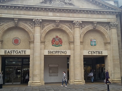
Nearby attractions include: Gloucester Cathedral, Eastgate Shopping Centre, Kings Walk Shopping Centre, Kingsholm Stadium.
Frequently Asked Questions (FAQ)
Which popular attractions are close to Tanners Hall?
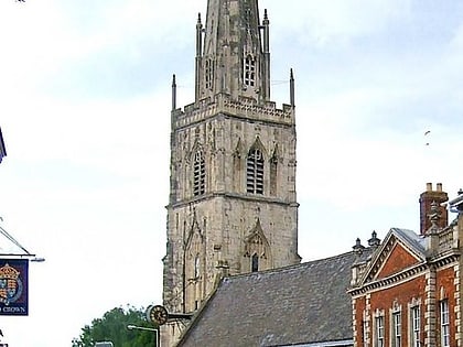
Nearby attractions include St Peter's Church, Gloucester (3 min walk), Gloucester Cathedral, Gloucester (5 min walk), Kingsholm Stadium, Gloucester (6 min walk), Wellington Parade, Gloucester (6 min walk).
How to get to Tanners Hall by public transport?
The nearest stations to Tanners Hall:
Train
Train
- Gloucester (8 min walk)


