Tyndalls Park, Bristol
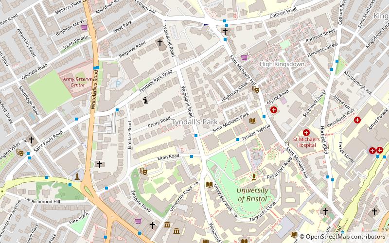
Map
Map

Facts and practical information
Tyndall's Park is an area of central Bristol, England. It lies north of Park Row and Queen's Road, east of Whiteladies Road and west of St Michael's Hill, between the districts of Clifton, Cotham and Kingsdown. It includes the campus of Bristol Grammar School, and many of the buildings of the University of Bristol. ()
Coordinates: 51°27'35"N, 2°36'15"W
Address
CabotBristol
ContactAdd
Social media
Add
Day trips
Tyndalls Park – popular in the area (distance from the attraction)
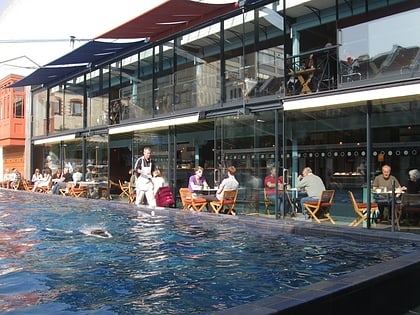
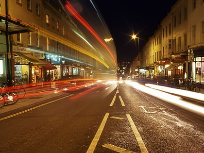
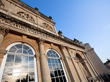
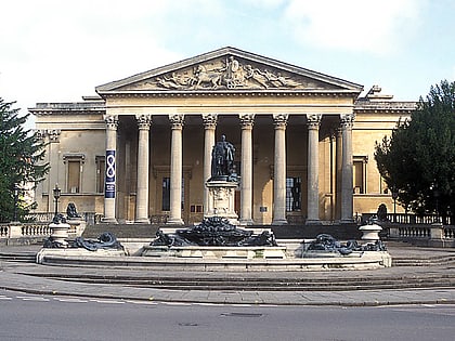
Nearby attractions include: Bristol Museum & Art Gallery, O2 Academy Bristol, Lido, Park Street.
Frequently Asked Questions (FAQ)
Which popular attractions are close to Tyndalls Park?
Nearby attractions include Royal Fort House, Bristol (2 min walk), University of Bristol, Bristol (3 min walk), Woodlands Christian Centre, Bristol (5 min walk), Broadcasting House, Bristol (5 min walk).
How to get to Tyndalls Park by public transport?
The nearest stations to Tyndalls Park:
Bus
Train
Ferry
Bus
- The Hawthorns • Lines: 9 (1 min walk)
- Elton Road • Lines: 8 (2 min walk)
Train
- Clifton Down (12 min walk)
- Redland (17 min walk)
Ferry
- City Centre • Lines: Hotwells-Centre (16 min walk)
- Capricorn Quay (18 min walk)


