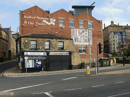
Barkerend, Bradford
Map
Gallery
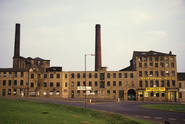
Facts and practical information
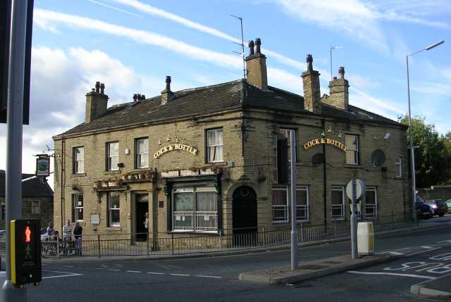
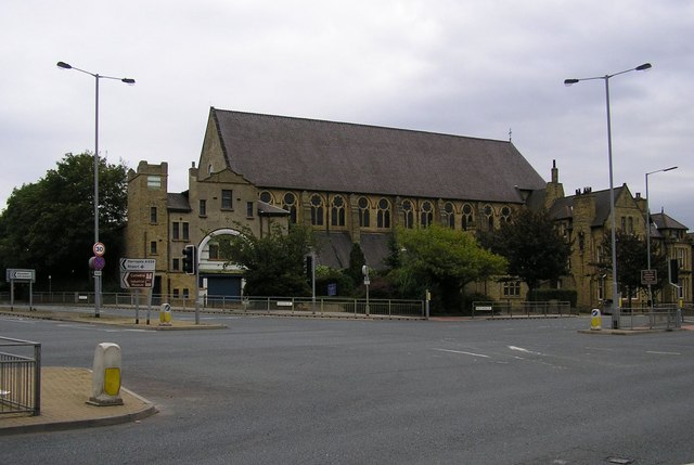
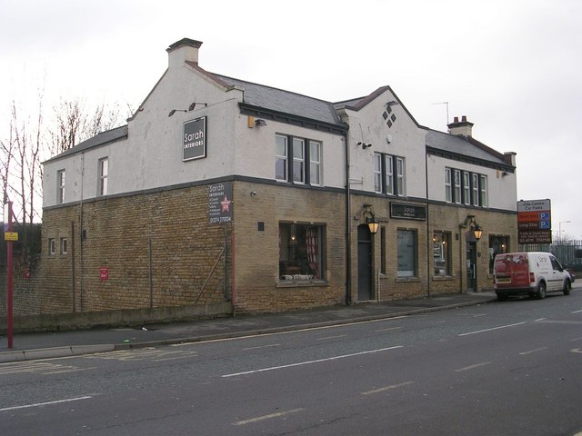
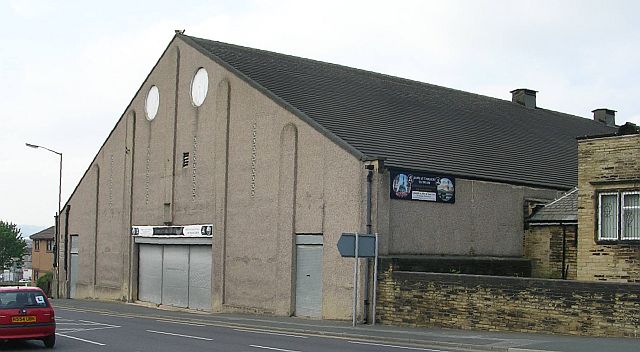
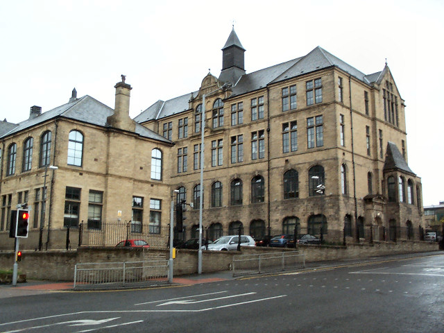
Barkerend is an inner-city area in the Bowling and Barkerend ward of the Bradford district, in the English county of West Yorkshire. Barkerend is located to the east of Bradford city centre. The Barkerend area is not easy to define but it is surrounded by Undercliffe, and Undercliffe Cemetery, Bradford Moor, Laisterdyke, Bowling, Broomfields, Little Germany and the Shipley Airedale Road, and Wapping but includes an area of new and modern housing known as Pollard Park. ()
Coordinates: 53°47'49"N, 1°44'17"W
Address
Bradford East (Bowling and Barkerend)Bradford
ContactAdd
Social media
Add
Day trips
Barkerend – popular in the area (distance from the attraction)
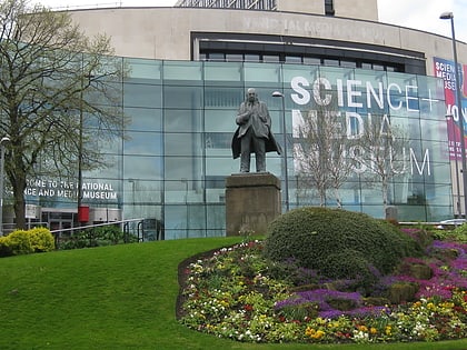
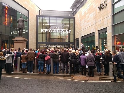
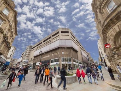
Nearby attractions include: National Science and Media Museum, The Broadway, Sunbridge Wells, Valley Parade.
Frequently Asked Questions (FAQ)
Which popular attractions are close to Barkerend?
Nearby attractions include Bradford Lakshmi Narayan Hindu Temple, Bradford (9 min walk), LIFE Church UK, Bradford (10 min walk), Al Mahdi Mosque, Bradford (10 min walk), Bradford Playhouse, Bradford (11 min walk).
How to get to Barkerend by public transport?
The nearest stations to Barkerend:
Train
Bus
Train
- Bradford Forster Square (16 min walk)
- Bradford Interchange (17 min walk)
Bus
- Bradford Interchange (18 min walk)
- Stand R Bradford Interchange • Lines: Route 620 (18 min walk)


