Palatine Bridge, Manchester
Map

Gallery

Facts and practical information
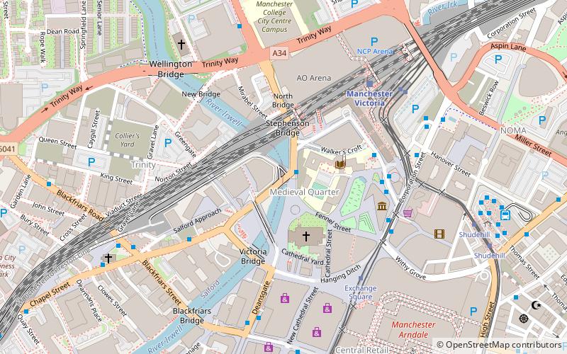
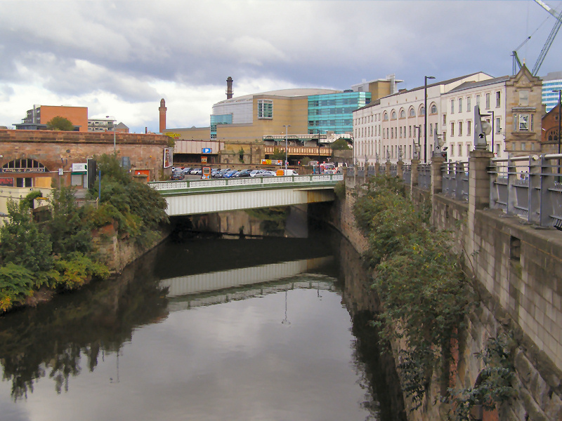
Palatine Bridge is a wrought-iron road bridge in Greater Manchester. Opened in 1864 and rebuilt in 1911, it crosses the River Irwell between Salford and Manchester. ()
Opened: 24 August 1864 (161 years ago)Coordinates: 53°29'11"N, 2°14'42"W
Address
SalfordManchester
ContactAdd
Social media
Add
Day trips
Palatine Bridge – popular in the area (distance from the attraction)
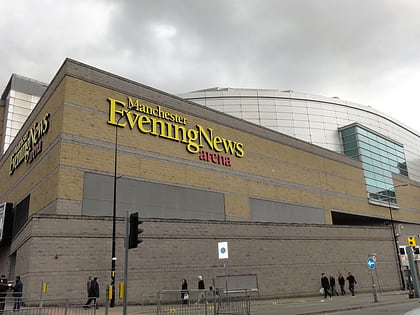
Nearby attractions include: Corporation Street, Manchester Arndale, Manchester Cathedral, Manchester Arena.
Frequently Asked Questions (FAQ)
Which popular attractions are close to Palatine Bridge?
Nearby attractions include Chetham's Library, Manchester (2 min walk), Chetham's School of Music, Manchester (2 min walk), Manchester Cathedral, Manchester (3 min walk), Victoria Bridge, Manchester (3 min walk).
How to get to Palatine Bridge by public transport?
The nearest stations to Palatine Bridge:
Bus
Train
Tram
Bus
- Victoria Station Approach • Lines: 2, 2 (peak) (4 min walk)
- Victoria Bridge/Chapel Street • Lines: X43 (4 min walk)
Train
- Manchester Victoria (5 min walk)
- Salford Central (13 min walk)
Tram
- Exchange Square • Lines: EDid, Roch, Shaw (5 min walk)
- Victoria • Lines: Airp, Altr, Bury, EDid, Picc, Roch, Shaw, Vict (5 min walk)

 Metrolink
 Metrolink / Rail


