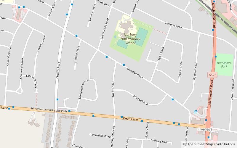
Norbury, Stockport

Map
Facts and practical information
Norbury is a locality in Greater Manchester, England. It formed a civil parish in Cheshire from 1866 to 1900 and now forms part of the Hazel Grove area of the Metropolitan Borough of Stockport. ()
Coordinates: 53°22'12"N, 2°7'12"W
Address
Stockport (Hazel Grove)Stockport
ContactAdd
Social media
Add
Day trips
Norbury – popular in the area (distance from the attraction)
Nearby attractions include: Bramall Hall, Edgeley Park, St George's Church, St Thomas' Church.
Frequently Asked Questions (FAQ)
Which popular attractions are close to Norbury?
Nearby attractions include Hazel Grove, Stockport (9 min walk), Torkington, Stockport (22 min walk).
How to get to Norbury by public transport?
The nearest stations to Norbury:
Bus
Train
Bus
- Hazel Grove, Dean Lane / near Rutland Road • Lines: 374 (4 min walk)
Train
- Hazel Grove (14 min walk)
- Woodsmoor (37 min walk)


