Symonds Green, Stevenage
Map

Map

Facts and practical information
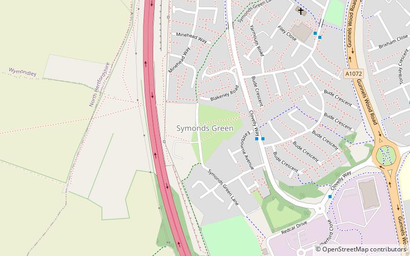
Symonds Green is a neighbourhood within the English new town of Stevenage in Hertfordshire. Although predominantly a residential area with a mixture of public-sector, charitable and private housing dating mostly from the 1970s, the open common land forming the actual Green is of historical significance to the area. ()
Coordinates: 51°54'38"N, 0°13'32"W
Address
Stevenage
ContactAdd
Social media
Add
Day trips
Symonds Green – popular in the area (distance from the attraction)
Nearby attractions include: St Nicholas Church, Six Hills, Gordon Craig Theatre, Stevenage Central Library.
Frequently Asked Questions (FAQ)
How to get to Symonds Green by public transport?
The nearest stations to Symonds Green:
Train
Bus
Train
- Stevenage (26 min walk)
Bus
- Stevenage Bus Station (30 min walk)
- Bus Station • Lines: 737 (30 min walk)


