Marygate, York
Map

Gallery

Facts and practical information
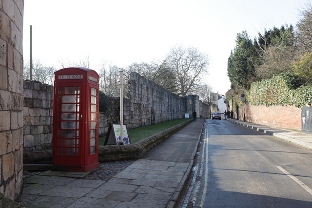
Marygate is a street in York, England, running just north of the city centre. Built in the Middle Ages, it gets its name from St Mary's Abbey and the Viking word "gata," meaning street. The area where the street lies was outside the walls of the Roman city of Eboracum, and represented the northern limit of the settlement; to the north, the land was used only for burials. The street runs south-west, from Bootham, down to the River Ouse. ()
Coordinates: 53°57'45"N, 1°5'20"W
Address
GuildhallYork
ContactAdd
Social media
Add
Day trips
Marygate – popular in the area (distance from the attraction)
Nearby attractions include: Yorkshire Museum, York Museum Gardens, Mansion House, Lendal Tower.
Frequently Asked Questions (FAQ)
Which popular attractions are close to Marygate?
Nearby attractions include St Olave's Church, York (1 min walk), St Lawrence's Church, York (2 min walk), St Mary's Abbey, York (2 min walk), Anglian Tower, York (3 min walk).
How to get to Marygate by public transport?
The nearest stations to Marygate:
Bus
Train
Bus
- Museum Street • Lines: 2 (5 min walk)
- Station Avenue • Lines: 2 (6 min walk)
Train
- York (10 min walk)


