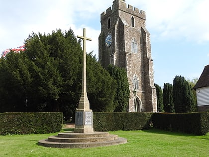
Turners Field, Tenterden
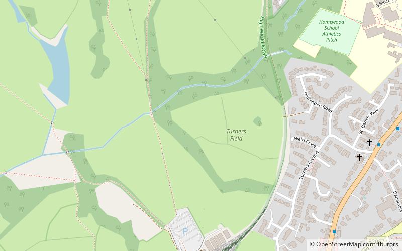
Map
Map

Facts and practical information
Turners Field is an 11-hectare nature reserve on the western outskirts of Tenterden in Kent. It is managed by Kent Wildlife Trust. ()
Elevation: 108 ft a.s.l.Coordinates: 51°4'26"N, 0°41'6"E
Address
Tenterden
ContactAdd
Social media
Add
Day trips
Turners Field – popular in the area (distance from the attraction)
Nearby attractions include: Sissinghurst Castle Garden, Chart Hills Golf Club, Great Dixter, Smallhythe Place.
Frequently Asked Questions (FAQ)
Which popular attractions are close to Turners Field?
Nearby attractions include Cavell Van, Tenterden (7 min walk), Sinden Theatre, Tenterden (11 min walk).


