Garnethill, Glasgow
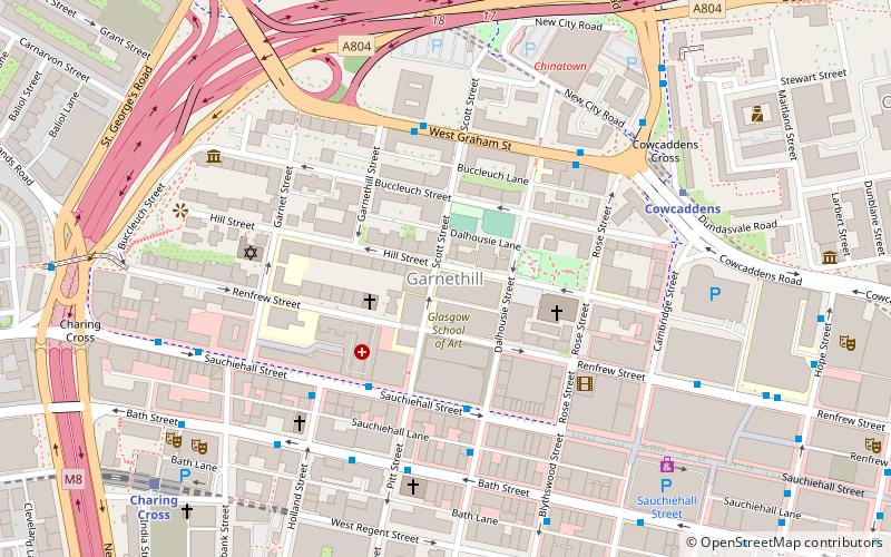
Map
Facts and practical information
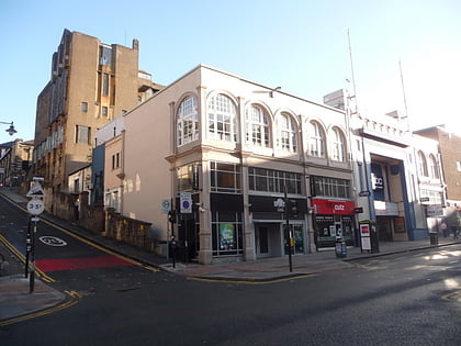
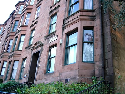
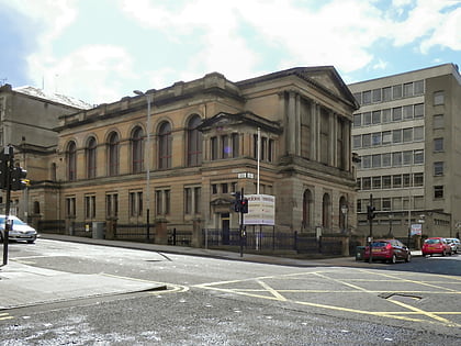
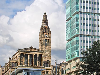
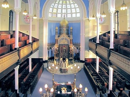
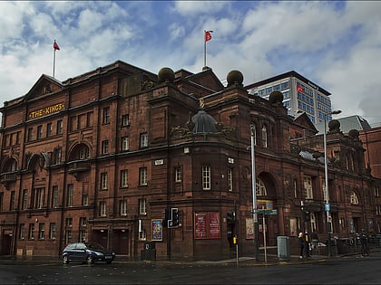
Garnethill is a predominantly residential area of the city of Glasgow, Scotland with a number of important public buildings. ()
Coordinates: 55°52'1"N, 4°15'50"W
Address
City Centre (Garnethill)Glasgow
ContactAdd
Social media
Add
Day trips
Garnethill – popular in the area (distance from the attraction)
Nearby attractions include: Sauchiehall Street, O2 ABC Glasgow, Glasgow School of Art, Tenement House.
Frequently Asked Questions (FAQ)
Which popular attractions are close to Garnethill?
Nearby attractions include Glasgow School of Art, Glasgow (1 min walk), St. Aloysius Catholic Church, Glasgow (2 min walk), Centre for Contemporary Arts, Glasgow (3 min walk), St Aloysius Church, Glasgow (3 min walk).
How to get to Garnethill by public transport?
The nearest stations to Garnethill:
Bus
Metro
Train
Bus
- Sauchiehall Street / Scott Street • Lines: 3, c1 (3 min walk)
- Sauchiehall Street / Douglas Street • Lines: 3 (3 min walk)
Metro
- Cowcaddens • Lines: Subway (5 min walk)
- St Georges Cross • Lines: Subway (9 min walk)
Train
- Charing Cross (7 min walk)
- Anderston (14 min walk)
