Beddington Farmlands, Banstead

Gallery (1)
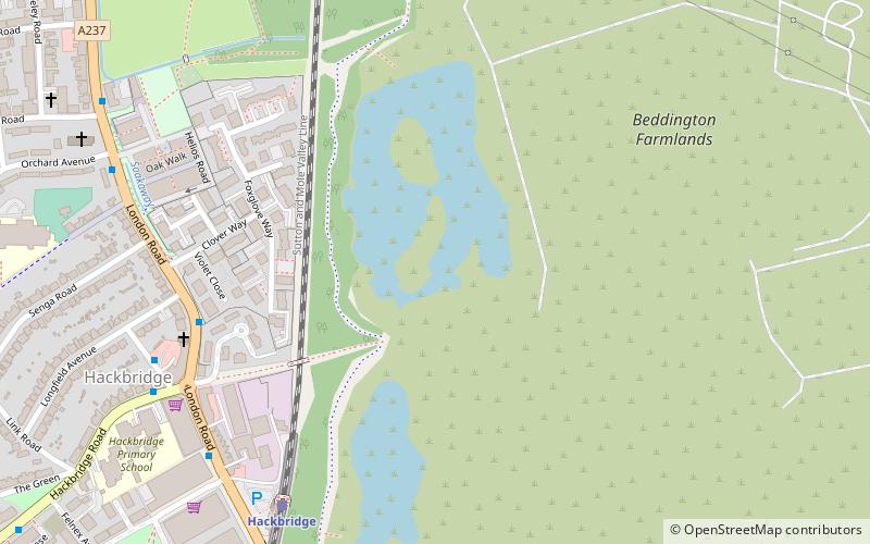
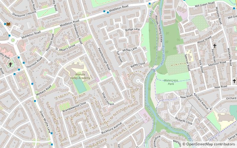
Map
Map
Facts and practical information
Beddington Farmlands is an area adjacent to Beddington in Greater London, England, known for many years as a birdwatching site. It is being developed as a nature reserve. ()
Elevation: 85 ft a.s.l.Coordinates: 51°22'51"N, 0°9'3"W
Address
Sutton (Beddington North)Banstead
ContactAdd
Social media
Add
Getting there by public transportation
Public transportation stops near this location
- Bus
- Tram
- Train
 Bus
Bus
- Calculate routeHackbridge Corner / Hackbridge Station 6 min walk
- Calculate routeOrchard Avenue 8 min walk
- Calculate routePark Road 10 min walk
- Calculate routeHackbridge 7 min walk
- Calculate routeMitcham Junction 23 min walk
- Calculate routeCarshalton 28 min walk
- Calculate routeBeddington Lane 18 min walk
- Calculate routeMitcham Junction 22 min walk
- Calculate routeTherapia Lane 26 min walk
- Calculate routeAmpere Way 30 min walk
Day trips


Frequently Asked Questions (FAQ)
Which popular attractions are close to Beddington Farmlands?
Nearby attractions include BedZED, Malden Rushett (7 min walk), Spencer Road Wetlands, Malden Rushett (15 min walk), The Spinney Local Nature Reserve, Banstead (17 min walk), Wandle Valley Wetland, Malden Rushett (17 min walk).
How to get to Beddington Farmlands by public transport?
The nearest stations to Beddington Farmlands:
Bus
Train
Tram
Bus
- Hackbridge Corner / Hackbridge Station • Lines: 127, 151 (6 min walk)
- Orchard Avenue • Lines: 127 (8 min walk)
Train
- Hackbridge (7 min walk)
- Mitcham Junction (23 min walk)
Tram
- Beddington Lane • Lines: 2, 4 (18 min walk)
- Mitcham Junction • Lines: 2, 4 (22 min walk)