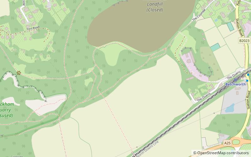
Brockham Limeworks, Dorking
Map

Map

Facts and practical information
Brockham Limeworks is a 45-hectare nature reserve north of Brockham in Surrey. It is owned by Surrey County Council and managed by the Surrey Wildlife Trust. Part of it is a Scheduled Monument, and it is part of the Mole Gap to Reigate Escarpment Site of Special Scientific Interest and Special Area of Conservation. ()
Elevation: 371 ft a.s.l.Coordinates: 51°14'53"N, 0°16'30"W
Address
Dorking
ContactAdd
Social media
Add
Day trips
Brockham Limeworks – popular in the area (distance from the attraction)
Nearby attractions include: Buckland Windmill, Betchworth Castle, Fraser Down, Betchworth Quarry and Lime Kilns.
Frequently Asked Questions (FAQ)
How to get to Brockham Limeworks by public transport?
The nearest stations to Brockham Limeworks:
Train
Bus
Train
- Betchworth (9 min walk)
Bus
- Betchworth Railway Station • Lines: 21 (10 min walk)
- Post Office • Lines: 21 (11 min walk)


