Barnardtown, Newport
Map
Facts and practical information
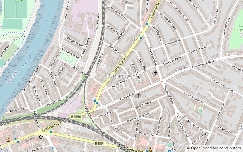
Barnardtown is a small area to the east of Newport Bridge in the city of Newport. It is roughly bounded by Duckpool Road, Church Road and Caerleon Road. It lies within the electoral ward of Saint Julian's and to the west is Riverside. ()
Coordinates: 51°35'37"N, 2°59'4"W
Address
Newport
ContactAdd
Social media
Add
Getting there by public transportation
Public transportation stops near this location
- Bus
- Train
 Bus
Bus
- Calculate routeJunction Road 3 min walk
- Calculate routeChristadelphian Hall 4 min walk
- Calculate routeAnnesley Road 5 min walk
- Calculate routeNewport 20 min walk
Day trips


Frequently Asked Questions (FAQ)
Which popular attractions are close to Barnardtown?
Nearby attractions include The NEON, Newport (9 min walk), Maindee, Newport (11 min walk), Crindau Marina, Newport (12 min walk), Newport Bridge, Newport (12 min walk).
How to get to Barnardtown by public transport?
The nearest stations to Barnardtown:
Bus
Train
Bus
- Junction Road • Lines: 27, 28 (3 min walk)
- Christadelphian Hall • Lines: 27, 28 (4 min walk)
Train
- Newport (20 min walk)