St Kyneburgh's Chapel, Gloucester
Map
Facts and practical information
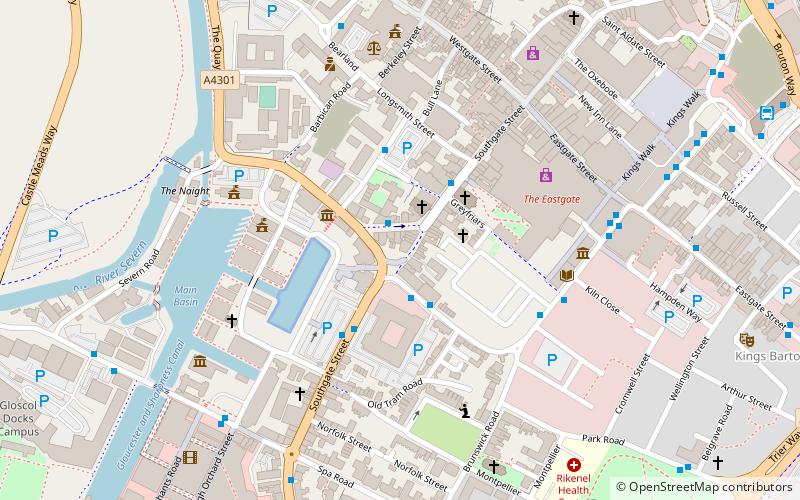
St Kyneburgh's Chapel was established in early times near the City of Gloucester. It was dedicated to St Kyneburgh and was transferred with all its lands to Llanthony Secunda Priory by Roger Earl of Hereford between 1143 and 1155. It was situated inside Gloucester's city wall at the south gate. It was formerly a possession of St Owen's Church, Gloucester. ()
Coordinates: 51°51'48"N, 2°14'55"W
Address
Gloucester
ContactAdd
Social media
Add
Getting there by public transportation
Public transportation stops near this location
- Train
 Train
Train
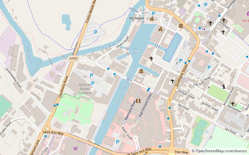
- Calculate routeGloucester 12 min walk
Day trips
St Kyneburgh's Chapel – popular in the area (distance from the attraction)
Nearby attractions include: Eastgate Shopping Centre, Kings Walk Shopping Centre, Kingsholm Stadium, Gloucester Quays Outlet.


Frequently Asked Questions (FAQ)
Which popular attractions are close to St Kyneburgh's Chapel?
Nearby attractions include Southgate Street, Gloucester (1 min walk), Blackfriars, Gloucester (2 min walk), Soldiers of Gloucestershire Museum, Gloucester (2 min walk), St Mary de Crypt Church, Gloucester (2 min walk).
How to get to St Kyneburgh's Chapel by public transport?
The nearest stations to St Kyneburgh's Chapel:
Train
Train
- Gloucester (12 min walk)