The Pyramid at Anderston, Glasgow
Map
Gallery
Facts and practical information
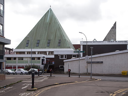
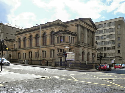
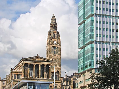
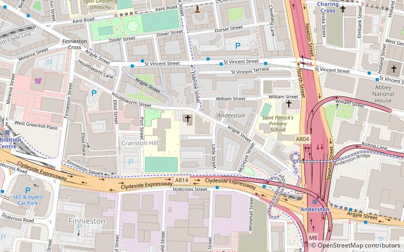
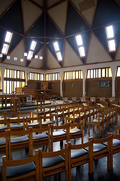
The Pyramid at Anderston is a community-owned centre for the people of Anderston in Glasgow, which uses the building of the former Anderston Kelvingrove Parish Church. ()
Coordinates: 55°51'42"N, 4°16'30"W
Day trips
The Pyramid at Anderston – popular in the area (distance from the attraction)
Nearby attractions include: O2 ABC Glasgow, Glasgow School of Art, SEC Armadillo, OVO Hydro.
Frequently Asked Questions (FAQ)
Which popular attractions are close to The Pyramid at Anderston?
Nearby attractions include Elphinstone Place, Glasgow (6 min walk), Verreville Glass and Pottery Works, Glasgow (6 min walk), Anderston Centre, Glasgow (7 min walk), St Vincent Street Church, Glasgow (7 min walk).
How to get to The Pyramid at Anderston by public transport?
The nearest stations to The Pyramid at Anderston:
Bus
Train
Metro
Bus
- St. Vincent Street / Elderslie Street • Lines: 2 (3 min walk)
- St Vincent Street / St Vincent Terrace • Lines: 2 (4 min walk)
Train
- Anderston (6 min walk)
- Charing Cross (8 min walk)
Metro
- St Georges Cross • Lines: Subway (18 min walk)
- Cowcaddens • Lines: Subway (19 min walk)
