Paul's walk, London
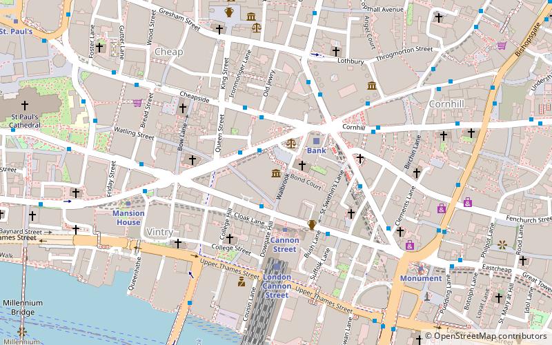
Map
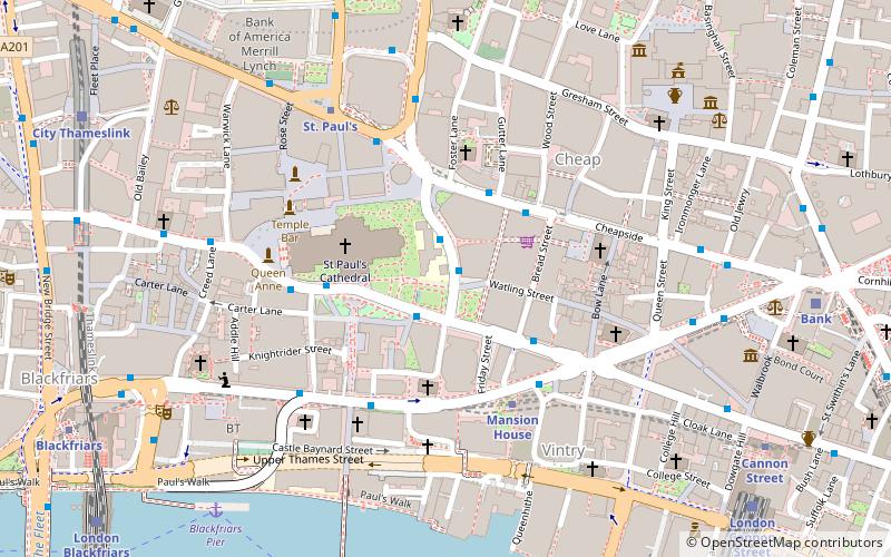
Map

Facts and practical information
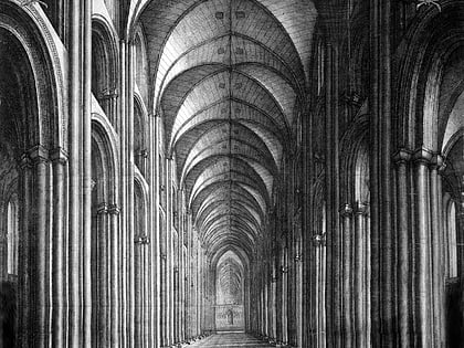
Paul's walk in Elizabethan and early Stuart London was the name given to the central nave of Old St Paul's Cathedral, where people walked up and down in search of the latest news. At the time, St. Paul's was the centre of the London grapevine. "News-mongers", as they were called, gathered there to pass on the latest news and gossip, at a time before the first newspapers. Those who visited the cathedral to keep up with the news were known as "Paul's-walkers". ()
Coordinates: 51°30'48"N, 0°5'47"W
Address
City of London (Bread Street)London
ContactAdd
Social media
Add
Day trips
Paul's walk – popular in the area (distance from the attraction)
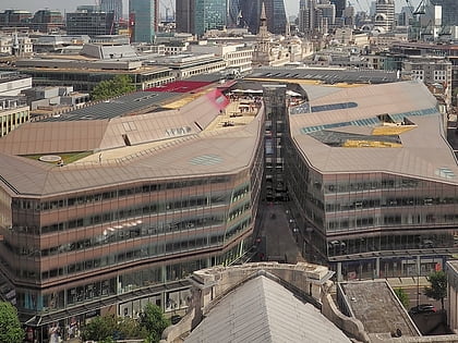
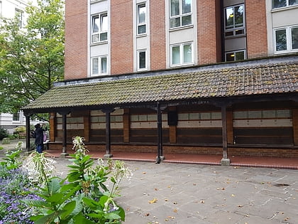
Nearby attractions include: St Paul's Cathedral, One New Change, Memorial to Heroic Self-Sacrifice, St Mary-le-Bow.
Frequently Asked Questions (FAQ)
Which popular attractions are close to Paul's walk?
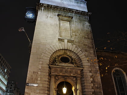
Nearby attractions include One New Change, London (1 min walk), St Paul's Cathedral, London (3 min walk), Minor Canons of St Paul's, London (3 min walk), St Nicholas Cole Abbey, London (3 min walk).
How to get to Paul's walk by public transport?
The nearest stations to Paul's walk:
Bus
Metro
Ferry
Train
Light rail
Bus
- St Paul's Churchyard • Lines: 26, N26 (2 min walk)
- Bread Street • Lines: 25, 8, N242, N25, N8 (3 min walk)
Metro
- Mansion House • Lines: Circle, District (4 min walk)
- St. Paul's • Lines: Central (5 min walk)
Ferry
- Blackfriars Pier • Lines: Rb6 (7 min walk)
- Bankside Pier • Lines: Green Tour, Rb1, Rb1X, Rb2 (9 min walk)
Train
- Bank (8 min walk)
- London Cannon Street (9 min walk)
Light rail
- Bank Platform 10 • Lines: B-L, B-Wa (10 min walk)
- Tower Gateway Platform 1 • Lines: Tg-B (25 min walk)
 Tube
Tube
