Selly Park, Birmingham

Map
Facts and practical information
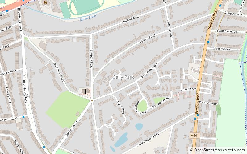
Selly Park is a residential suburban district in south-west Birmingham, England. The suburb of Selly Park is located between the Bristol Road and the Pershore Road. ()
Coordinates: 52°26'39"N, 1°55'14"W
Address
Selly OakBirmingham
ContactAdd
Social media
Add
Day trips
Selly Park – popular in the area (distance from the attraction)
Nearby attractions include: Edgbaston Cricket Ground, Cadbury World, Lapworth Museum of Geology, Cannon Hill Park.
Frequently Asked Questions (FAQ)
Which popular attractions are close to Selly Park?
Nearby attractions include St Stephen's Church, Birmingham (4 min walk), St Edward's Church, Birmingham (9 min walk), Chad Brook, Birmingham (11 min walk), Equestrian statue of George I, Birmingham (13 min walk).
How to get to Selly Park by public transport?
The nearest stations to Selly Park:
Bus
Train
Bus
- Bristol Rd / Edgbaston Park Rd • Lines: 63 (9 min walk)
Train
- Selly Oak (17 min walk)
- University (22 min walk)


