Crown Wood, Bracknell
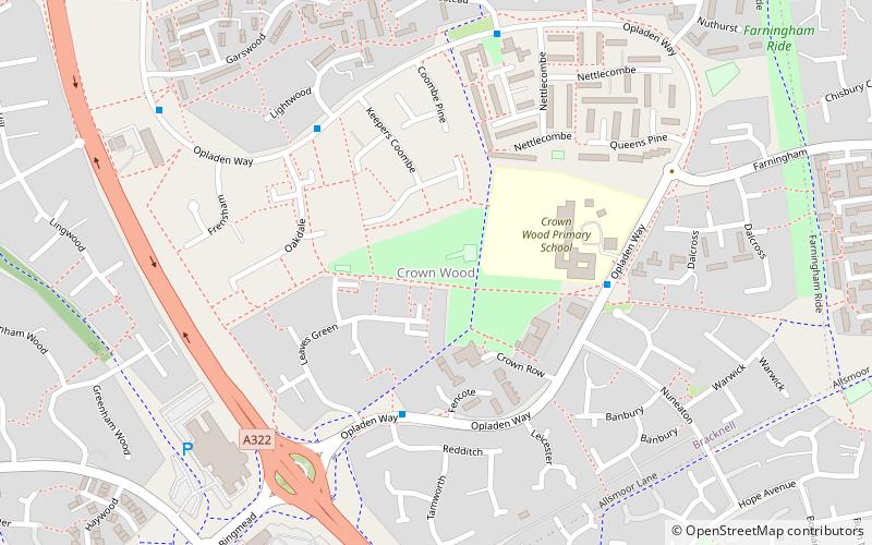
Map
Facts and practical information
Crown Wood is a south-eastern estate of Bracknell in the English county of Berkshire, and formerly part of the parish of Winkfield. ()
Coordinates: 51°23'49"N, 0°44'19"W
Address
Crown WoodBracknell
ContactAdd
Social media
Add
Day trips
Crown Wood – popular in the area (distance from the attraction)
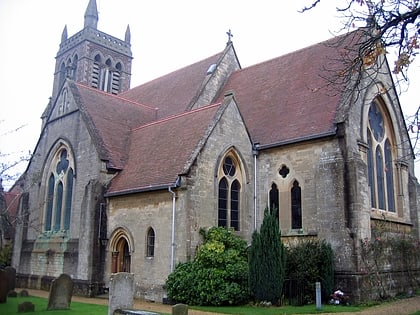
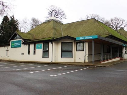
Nearby attractions include: South Hill Park, Coral Reef, St Michael and St Mary Magdalene's Church, Easthampstead Baptist Church - Bracknell.
Frequently Asked Questions (FAQ)
Which popular attractions are close to Crown Wood?
Nearby attractions include South Hill Park, Bracknell (14 min walk), Easthampstead Baptist Church - Bracknell, Bracknell (16 min walk), Go Ape Bracknell, Bracknell (17 min walk), The Look Out Discovery Centre, Bracknell (18 min walk).
How to get to Crown Wood by public transport?
The nearest stations to Crown Wood:
Train
Bus
Train
- Martins Heron (25 min walk)
- Bracknell (33 min walk)
Bus
- Bracknell Bus Station • Lines: 171, 702, 703 (33 min walk)
- Allsmoor Lane • Lines: 702, 703 (34 min walk)

