Lillie Bridge, London
Map
Gallery
Facts and practical information
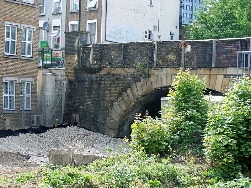
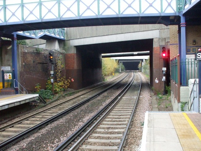
Lillie Bridge is a road bridge that links Old Brompton Road in the Royal Borough of Kensington and Chelsea with Lillie Road in the London Borough of Hammersmith & Fulham. It crosses two railways: the West London Line on the London Overground and the Wimbledon branch of the London Underground at West Brompton station. ()
Coordinates: 51°29'14"N, 0°11'46"W
Address
Hammersmith and Fulham (Fulham Broadway)London
ContactAdd
Social media
Add
Day trips
Lillie Bridge – popular in the area (distance from the attraction)
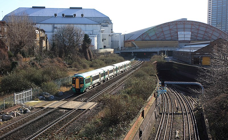
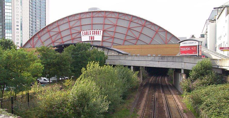
Nearby attractions include: Queen's Club, Brompton Cemetery, Earls Court Exhibition Centre, Margravine Cemetery.
Frequently Asked Questions (FAQ)
Which popular attractions are close to Lillie Bridge?
Nearby attractions include Earls Court Exhibition Centre, London (4 min walk), The Troubadour, London (6 min walk), Battersea Railway Bridge, London (7 min walk), Brompton Cemetery, London (8 min walk).
How to get to Lillie Bridge by public transport?
The nearest stations to Lillie Bridge:
Metro
Bus
Train
Ferry
Metro
- West Brompton • Lines: District (2 min walk)
- Earl's Court • Lines: District, Piccadilly (8 min walk)
Bus
- West Brompton Station • Lines: 430, 74, N74, N97 (2 min walk)
- Empress State Building / West Brompton Station • Lines: 190 (3 min walk)
Train
- Imperial Wharf (26 min walk)
Ferry
- Chelsea Harbour Pier • Lines: Rb6 (30 min walk)



 Tube
Tube


