Bantaskine, Falkirk

Map
Facts and practical information
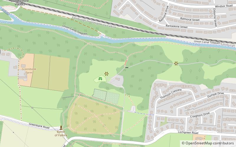
Bantaskine is a park with woodlands in Falkirk, Scotland that was formerly the Bantaskine Estate, a coal mining estate. The artist Mary Georgina Wade Wilson grew up there. The Battle of Falkirk Muir was fought nearby. It is also known as South Bantaskine. North Bantaskine, on the other side of the Union Canal, was an agricultural estate. It is listed as a historically significant archeological site by Historic Environment Scotland. ()
Elevation: 348 ft a.s.l.Coordinates: 55°59'32"N, 3°48'44"W
Address
Falkirk
ContactAdd
Social media
Add
Day trips
Bantaskine – popular in the area (distance from the attraction)
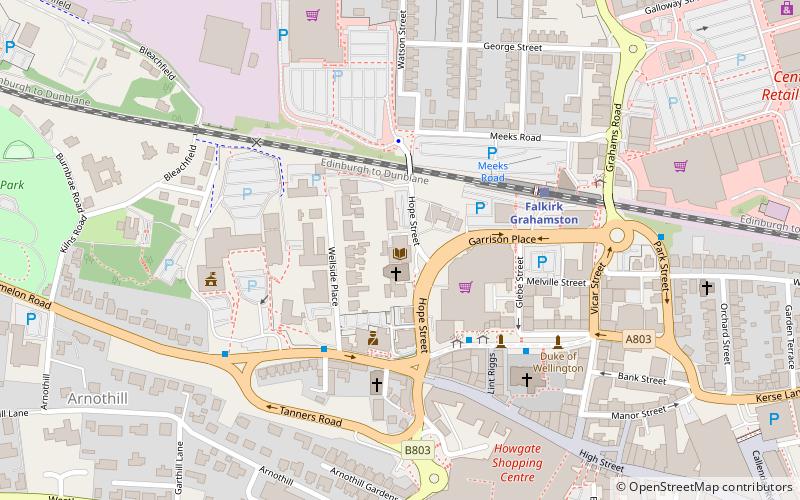
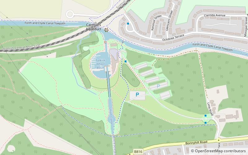
Nearby attractions include: Falkirk Wheel, Falkirk Old Parish Church, Falkirk Public Library, Callendar Square Shopping Centre.
Frequently Asked Questions (FAQ)
How to get to Bantaskine by public transport?
The nearest stations to Bantaskine:
Train
Train
- Falkirk High (20 min walk)
- Camelon (26 min walk)


