Peterborough Castle, Peterborough
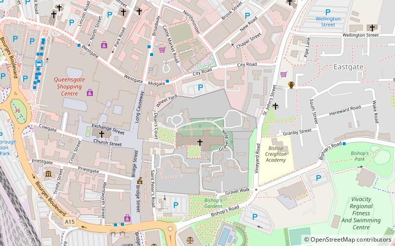
Map
Facts and practical information
Peterborough Castle, also known as Mount Thorold and Touthill, was a medieval motte and bailey castle in Peterborough, Cambridgeshire, England. ()
Coordinates: 52°34'23"N, 0°14'23"W
Address
Peterborough
ContactAdd
Social media
Add
Getting there by public transportation
Public transportation stops near this location
- Bus
- Train
 Bus
Bus
- Calculate routeRivergate Stop B 6 min walk
- Calculate routeRivergate Stop A 7 min walk
- Calculate routeRivergate Stop E 7 min walk
- Calculate routeRivergate Stop F 7 min walk
- Calculate routePeterborough 13 min walk
Day trips


Frequently Asked Questions (FAQ)
Which popular attractions are close to Peterborough Castle?
Nearby attractions include Peterborough Cathedral, Peterborough (1 min walk), Peterborough Town Hall, Peterborough (4 min walk), Peterborough Guildhall, Peterborough (4 min walk), St John the Baptist Church, Peterborough (5 min walk).
How to get to Peterborough Castle by public transport?
The nearest stations to Peterborough Castle:
Bus
Train
Bus
- Rivergate Stop B • Lines: 1, 4, 5, 6, Citi 3, Citi 4, Citi 5, Citi 6 (6 min walk)
- Rivergate Stop A • Lines: 3 (7 min walk)
Train
- Peterborough (13 min walk)