Archbishop's Park, London
Map
Gallery
Facts and practical information
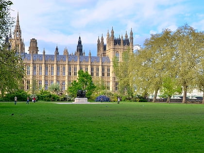
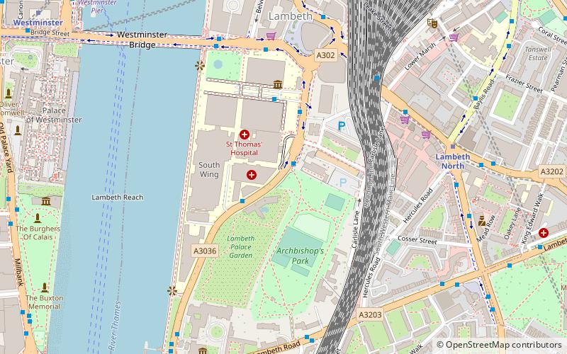
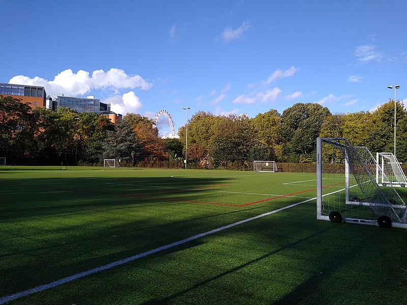
Archbishop's Park is a 3.93 hectares park in Lambeth in the London Borough of Lambeth in London, England, which opened to the public in 1901. Before it became a park, it formed part of the grounds of Lambeth Palace. ()
Elevation: 30 ft a.s.l.Coordinates: 51°29'54"N, 0°7'3"W
Address
Lambeth (Bishop's)London
ContactAdd
Social media
Add
Day trips
Archbishop's Park – popular in the area (distance from the attraction)
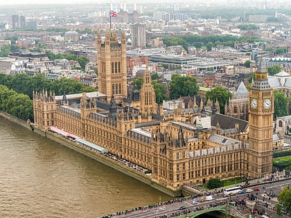
Nearby attractions include: Palace of Westminster, London Dungeon, Westminster Bridge, Sea Life London Aquarium.
Frequently Asked Questions (FAQ)
Which popular attractions are close to Archbishop's Park?
Nearby attractions include Statue of Edward VI, London (3 min walk), Statue of Edward VI, London (4 min walk), National Covid Memorial Wall, London (4 min walk), Statue of Robert Clayton, London (4 min walk).
How to get to Archbishop's Park by public transport?
The nearest stations to Archbishop's Park:
Metro
Ferry
Train
Bus
Metro
- Lambeth North • Lines: Bakerloo (6 min walk)
- Westminster • Lines: Circle, District, Jubilee (10 min walk)
Ferry
- Westminster Pier • Lines: Blue Tour, Green Tour, Rb1, Rb1X, Rb2, Red Tour (9 min walk)
- London Eye - Waterloo Pier • Lines: Rb1, Rb1X, Rb2, Red Tour (10 min walk)
Train
- London Waterloo (10 min walk)
- Waterloo East (15 min walk)
Bus
- Waterloo Station / Mepham Street • Lines: 243 (12 min walk)
- Waterloo Station / Waterloo Road • Lines: 26 (12 min walk)

 Tube
Tube