Newport Built-up area, Newport
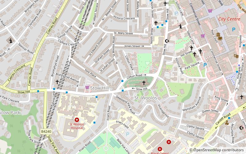
Map
Facts and practical information
The Newport Built-up area is an area of land defined by the United Kingdom Office for National Statistics for population monitoring purposes. It is an urban conurbation and is not coterminous with the city boundaries. It consists of the urban area centred on Newport as well as contiguous settlements in the eastern and western valleys extending north of the city – including Cwmbran, Pontypool, Risca, Abercarn and Blackwood. It does however exclude physically detached urban areas within the city boundaries, such as Marshfield. ()
Coordinates: 51°34'60"N, 3°0'0"W
Address
Newport
ContactAdd
Social media
Add
Day trips
Newport Built-up area – popular in the area (distance from the attraction)
Nearby attractions include: High Street, Friars Walk, Rodney Parade, Kingsway Shopping Centre.
Frequently Asked Questions (FAQ)
Which popular attractions are close to Newport Built-up area?
Nearby attractions include Newport Cathedral, Newport (2 min walk), Diverse Vinyl, Newport (6 min walk), Baneswell, Newport (7 min walk), Belle Vue Park, Newport (8 min walk).
How to get to Newport Built-up area by public transport?
The nearest stations to Newport Built-up area:
Train
Bus
Train
- Newport (10 min walk)
Bus
- Newport Friars Walk • Lines: 27, 28 (10 min walk)
- Newport Bus Station (11 min walk)


