Hand and Shears, London
Map
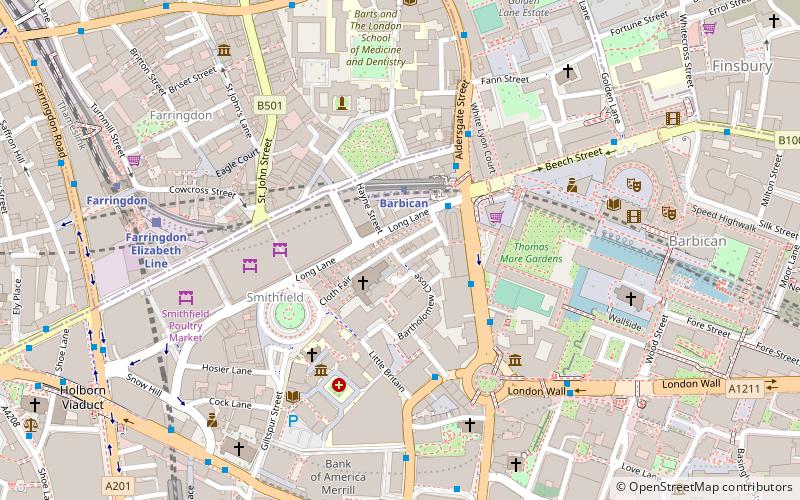
Map

Facts and practical information
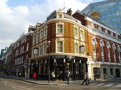
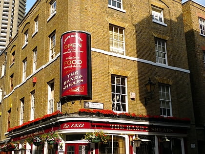
The Hand and Shears is a Grade II listed public house at 1 Middle Street, Smithfield, London. ()
Coordinates: 51°31'10"N, 0°5'56"W
Address
1 Middle St, EC1A 7JACity of London (Farringdon Within)London
Contact
+44 20 7600 0257
Social media
Add
Day trips
Hand and Shears – popular in the area (distance from the attraction)
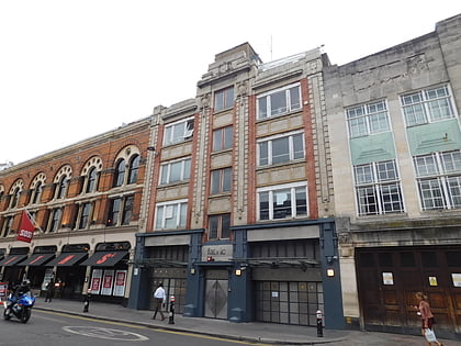
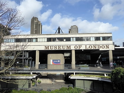
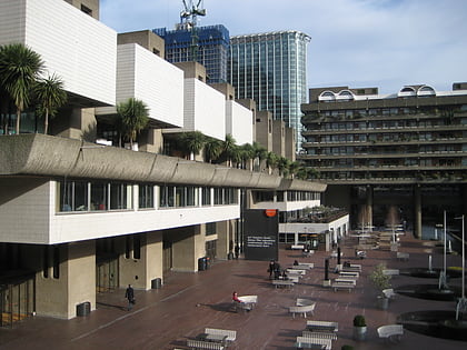
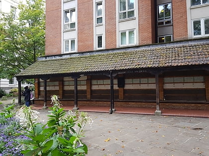
Nearby attractions include: Fabric, Museum of London, Barbican Centre, Memorial to Heroic Self-Sacrifice.
Frequently Asked Questions (FAQ)
Which popular attractions are close to Hand and Shears?
Nearby attractions include St Bartholomew-the-Great, London (2 min walk), Charterhouse Square, London (4 min walk), St Bartholomew-the-Less, London (4 min walk), The Charterhouse, London (4 min walk).
How to get to Hand and Shears by public transport?
The nearest stations to Hand and Shears:
Metro
Bus
Train
Ferry
Light rail
Metro
- Barbican • Lines: Circle, Hammersmith & City, Metropolitan (2 min walk)
- St. Paul's • Lines: Central (7 min walk)
Bus
- Museum of London • Lines: 56 (3 min walk)
- Barbican Station • Lines: 56 (3 min walk)
Train
- City Thameslink (9 min walk)
- Bank (16 min walk)
Ferry
- Blackfriars Pier • Lines: Rb6 (16 min walk)
- Bankside Pier • Lines: Green Tour, Rb1, Rb1X, Rb2 (19 min walk)
Light rail
- Bank Platform 10 • Lines: B-L, B-Wa (18 min walk)
- Tower Gateway Platform 1 • Lines: Tg-B (31 min walk)
 Tube
Tube