Shepherd's Bush Green, London
Map

Gallery

Facts and practical information
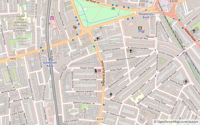
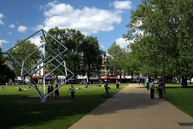
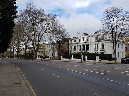
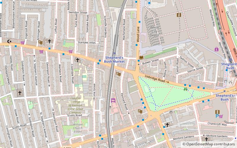
Shepherds Bush Green is an approximately 8-acre triangular area of open grass surrounded by trees and roads with shops in Shepherd's Bush, an area of west London which takes its name from the Green. The Green is also a ward of the London Borough of Hammersmith and Fulham. The population of the ward at the 2011 Census was 12,175. ()
Elevation: 26 ft a.s.l.Coordinates: 51°30'6"N, 0°13'20"W
Address
Hammersmith and Fulham (West Kensington)London
ContactAdd
Social media
Add
Day trips
Shepherd's Bush Green – popular in the area (distance from the attraction)
Nearby attractions include: Westfield London, Holland Park Avenue, Loftus Road, Kings Mall.
Frequently Asked Questions (FAQ)
Which popular attractions are close to Shepherd's Bush Green?
Nearby attractions include Shepherd's Bush Empire, London (4 min walk), Shepherd's Bush Market, London (7 min walk), Bush Theatre, London (8 min walk), Passmore Edwards Public Library, London (8 min walk).
How to get to Shepherd's Bush Green by public transport?
The nearest stations to Shepherd's Bush Green:
Bus
Metro
Train
Bus
- Goldhawk Road • Lines: 220, 283, 295, 72, N72 (3 min walk)
- Blythe Road • Lines: 220, 283, 295, 72, N72 (3 min walk)
Metro
- Goldhawk Road • Lines: Circle, Hammersmith & City (5 min walk)
- Shepherd's Bush • Lines: Central (8 min walk)
Train
- Shepherd's Bush (9 min walk)

 Tube
Tube


