Bradford Dale, Bradford
Map
Gallery
Facts and practical information
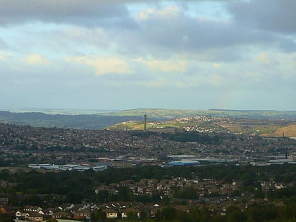
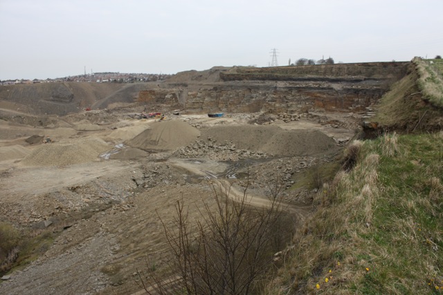
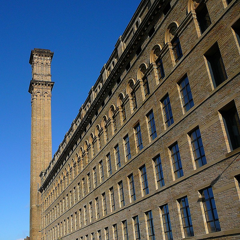
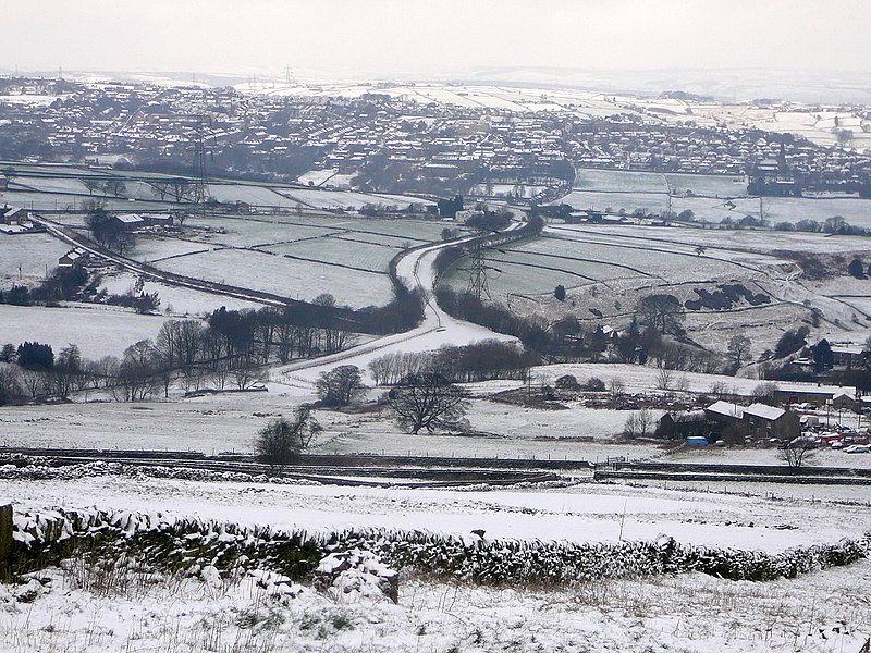
Bradford Dale, is a side valley of Airedale that feeds water from Bradford Beck across the City of Bradford into the River Aire at Shipley in West Yorkshire, England. Whilst it is in Yorkshire and a dale, it is not part of the Yorkshire Dales and has more in common with Lower Nidderdale and Lower Airedale for its industrialisation. ()
Coordinates: 53°47'38"N, 1°45'48"W
Address
Bradford West (City)Bradford
ContactAdd
Social media
Add
Day trips
Bradford Dale – popular in the area (distance from the attraction)
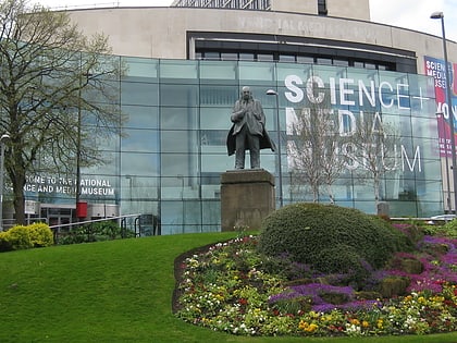
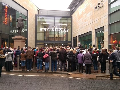
Nearby attractions include: National Science and Media Museum, The Broadway, Sunbridge Wells, Valley Parade.
Frequently Asked Questions (FAQ)
Which popular attractions are close to Bradford Dale?
Nearby attractions include Bradford College, Bradford (5 min walk), Colour Experience, Bradford (5 min walk), St Patrick's Church, Bradford (7 min walk), BD1 Gallery, Bradford (8 min walk).
How to get to Bradford Dale by public transport?
The nearest stations to Bradford Dale:
Bus
Train
Bus
- W2 Westgate • Lines: Route 620 (6 min walk)
- S9 • Lines: Route 620 (6 min walk)
Train
- Bradford Forster Square (13 min walk)
- Bradford Interchange (16 min walk)
