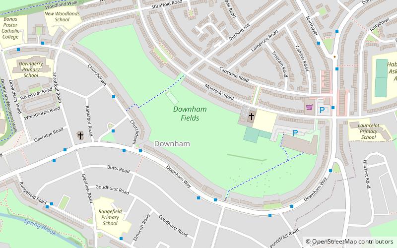
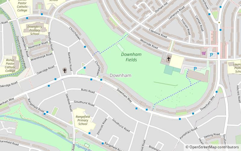
Downham Fields, Bromley
Map

Map

Facts and practical information
Downham Fields is a 20-acre park located in Downham, South East London. It is sometimes referred to in documents by the name Durham Hill, but this is not in common usage. It was left as parkland during the construction of the interwar Downham Estate because its steep hill made building difficult. ()
Elevation: 190 ft a.s.l.Coordinates: 51°25'36"N, 0°0'27"E
Address
Lewisham (Downham)Bromley
ContactAdd
Social media
Add
Day trips
Downham Fields – popular in the area (distance from the attraction)
Nearby attractions include: Beckenham Place Park, Chinbrook Meadows, Downham Woodland Walk, Forster Memorial Park.
Frequently Asked Questions (FAQ)
Which popular attractions are close to Downham Fields?
Nearby attractions include Downham, Bromley (2 min walk), Downham Woodland Walk, Bromley (10 min walk), Forster Memorial Park, Bromley (16 min walk), Chinbrook Meadows, London (24 min walk).
How to get to Downham Fields by public transport?
The nearest stations to Downham Fields:
Bus
Train
Bus
- St Barnabas Hall • Lines: 136, 181, N136 (4 min walk)
- Downham Way / Valeswood Road • Lines: 136, 181, N136 (4 min walk)
Train
- Grove Park (18 min walk)
- Beckenham Hill (26 min walk)


