Pike Hill Signal Tower, Hadrian's Wall
Map

Map

Facts and practical information
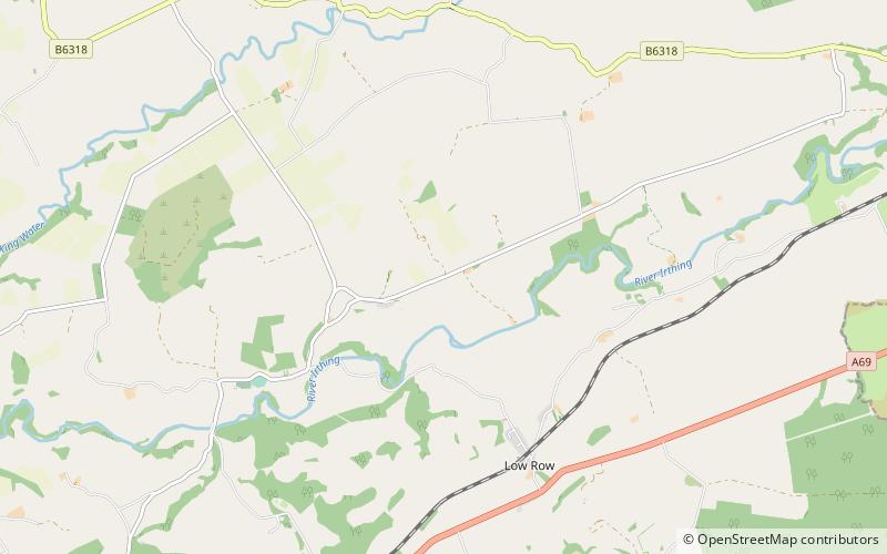
Pike Hill Signal Tower was one of a number of signal stations that were built on high ground overlooking the line of the Roman Stanegate road in northern Britannia during the early 2nd century. It later became incorporated into Hadrian's Wall. Its remains, a 2-metre long fragment of the south-east wall, lie south of a modern road cutting and field wall, and are located in the parish of Waterhead in Cumbria, United Kingdom. The tower is located between Turret 51B and Turret 52A with the fort of Banna located to the east. ()
Coordinates: 54°58'34"N, 2°39'47"W
Address
Hadrian's Wall
ContactAdd
Social media
Add
Day trips
Pike Hill Signal Tower – popular in the area (distance from the attraction)
Nearby attractions include: Leahill Turret, Milecastle 51, Milecastle 52, Milecastle 53.
Frequently Asked Questions (FAQ)
Which popular attractions are close to Pike Hill Signal Tower?
Nearby attractions include Milecastle 52, Hadrian's Wall (5 min walk), Leahill Turret, Hadrian's Wall (13 min walk), Milecastle 53, Hadrian's Wall (19 min walk).


