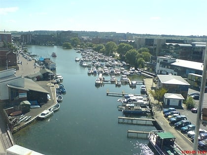
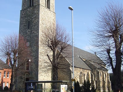
St. Catherine's Priory, Lincoln
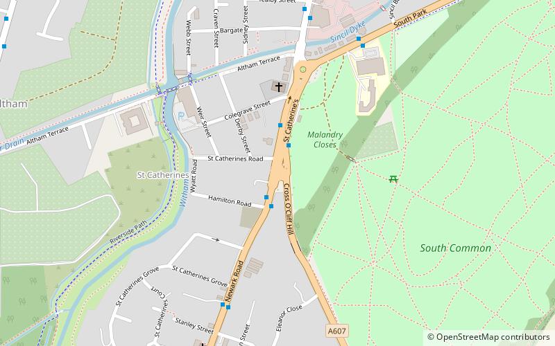
Map
Facts and practical information
St. Katherine's Priory also known as The Priory of Saint Katherine without Lincoln was a Gilbertine priory of Canons Regular on the Fosse Way just outside the walls of Lincoln, England. The Priory ran the Hospital of St Sepulchre, probably the first hospital in the city. ()
Coordinates: 53°12'45"N, 0°32'49"W
Address
Lincoln
ContactAdd
Social media
Add
Day trips
St. Catherine's Priory – popular in the area (distance from the attraction)
Nearby attractions include: Lincoln Drill Hall, St Swithin's Church, Empowerment Sculpture, High Bridge.
Frequently Asked Questions (FAQ)
Which popular attractions are close to St. Catherine's Priory?
Nearby attractions include Eleanor cross, Lincoln (3 min walk), Boultham, Lincoln (10 min walk), Boultham Park, Lincoln (14 min walk), St Peter at Gowts, Lincoln (17 min walk).
How to get to St. Catherine's Priory by public transport?
The nearest stations to St. Catherine's Priory:
Bus
Train
Bus
- South Common • Lines: 1 (2 min walk)
- Tealby Street • Lines: 1 (6 min walk)
Train
- Lincoln Central (25 min walk)


