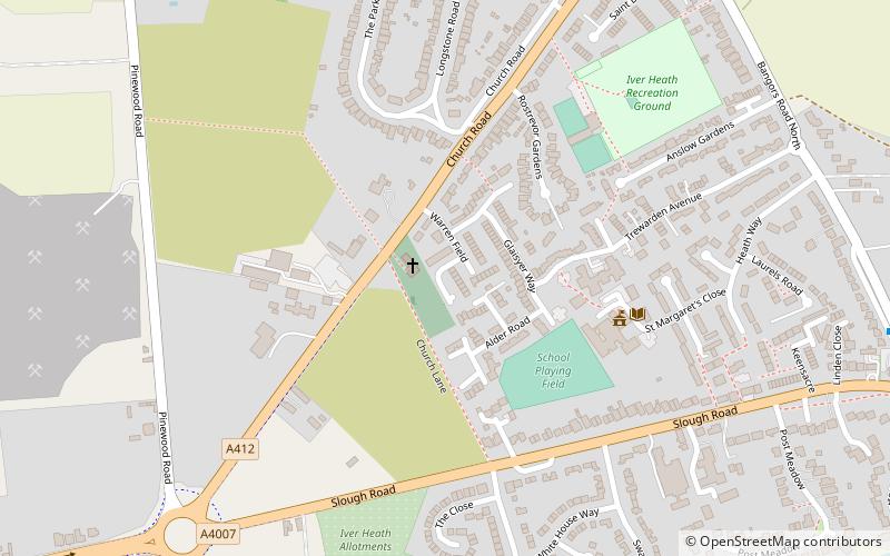
Pitsea waste management site, Uxbridge

Map
Facts and practical information
Pitsea waste management site is a large landfill site on the north side of the Thames estuary 0.7 miles from Pitsea in Basildon, Essex. It is the second largest landfill site in the UK operated by Veolia Ltd. receiving 800,000 tonnes of solid waste per year, mostly from the London conurbation. ()
Coordinates: 51°32'18"N, 0°31'28"W
Address
Uxbridge
ContactAdd
Social media
Add
Day trips
Pitsea waste management site – popular in the area (distance from the attraction)
Nearby attractions include: Black Park, King's Church Iver, The Langley, Kingcup Meadows and Oldhouse Wood.
Frequently Asked Questions (FAQ)
How to get to Pitsea waste management site by public transport?
The nearest stations to Pitsea waste management site:
Bus
Bus
- The Black Horse • Lines: 583 (11 min walk)
- Slough Road • Lines: 3 (29 min walk)


