Mi Amigo memorial, Sheffield

Map
Facts and practical information
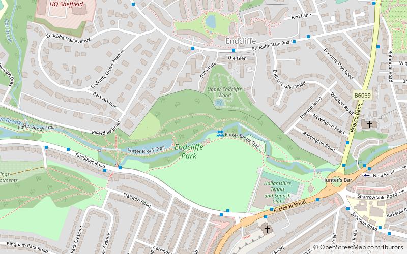
The Mi Amigo memorial is a war memorial at Endcliffe Park, Sheffield, England, marking the World War II crash site of the USAAF B-17 Flying Fortress Mi Amigo. ()
Coordinates: 53°22'8"N, 1°30'28"W
Address
BroomhillSheffield
Contact
+44 114 221 1900
Social media
Add
Day trips
Mi Amigo memorial – popular in the area (distance from the attraction)
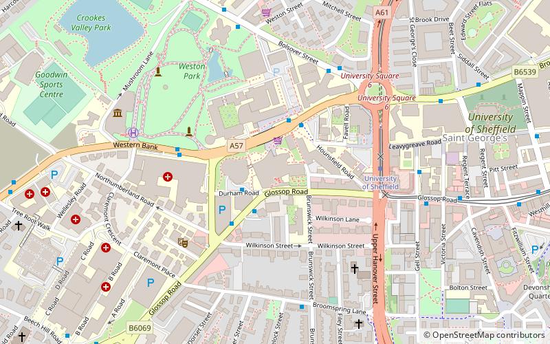
Nearby attractions include: University of Sheffield Students' Union, Sheffield Botanical Gardens, Sandygate Road, Glossop Road Baths.
Frequently Asked Questions (FAQ)
Which popular attractions are close to Mi Amigo memorial?
Nearby attractions include Endcliffe Park, Sheffield (1 min walk), Hunter's Bar, Sheffield (7 min walk), Wilson Road Synagogue, Sheffield (10 min walk), Sheffield Botanical Gardens, Sheffield (12 min walk).
How to get to Mi Amigo memorial by public transport?
The nearest stations to Mi Amigo memorial:
Bus
Tram
Bus
- Endcliffe Vale Road/The Glade • Lines: 6 (4 min walk)
- Rustlings Road/Ecclesall Road • Lines: 83a (4 min walk)
Tram
- University of Sheffield • Lines: Blue, Yell (33 min walk)
- Netherthorpe Road • Lines: Blue, Yell (39 min walk)


