Brandy Hole Copse, Chichester
Map

Map

Facts and practical information
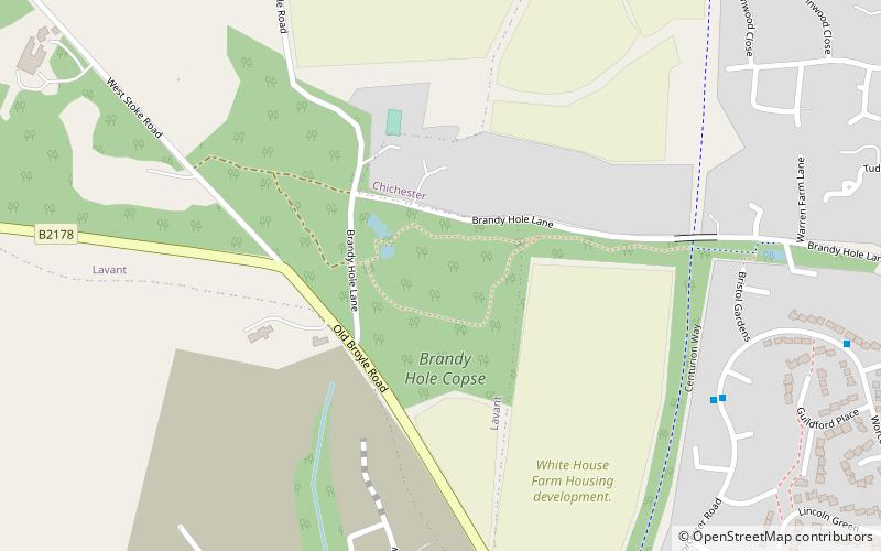
Brandy Hole Copse is a 6.5-hectare Local Nature Reserve on the western outskirts of Chichester in West Sussex. It is owned and managed by Chichester District Council. Part of it is a Scheduled Monument, Chichester Dyke. ()
Elevation: 118 ft a.s.l.Coordinates: 50°51'10"N, 0°47'29"W
Address
Chichester
ContactAdd
Social media
Add
Day trips
Brandy Hole Copse – popular in the area (distance from the attraction)
Nearby attractions include: Chichester Cathedral, Fishbourne Roman Palace, Priory Park, Chichester Library.
Frequently Asked Questions (FAQ)
Which popular attractions are close to Brandy Hole Copse?
Nearby attractions include Oaklands Park, Chichester (21 min walk), Chichester Festival Theatre, Chichester (24 min walk), Minerva Theatre, Chichester (24 min walk), University of Chichester, Chichester (24 min walk).
How to get to Brandy Hole Copse by public transport?
The nearest stations to Brandy Hole Copse:
Bus
Train
Bus
- Broyle Road • Lines: 60 (12 min walk)
- The Broadway • Lines: 60 (12 min walk)
Train
- Fishbourne (36 min walk)


