Rowlatts Hill, Leicester

Map
Facts and practical information
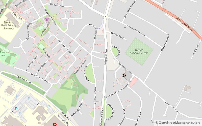
Rowlatts Hill is an eastern, residential suburb of the English city of Leicester. It contains mostly council-owned housing. ()
Coordinates: 52°38'1"N, 1°4'28"W
Address
Leicester East (Evington)Leicester
ContactAdd
Social media
Add
Day trips
Rowlatts Hill – popular in the area (distance from the attraction)
Nearby attractions include: Masjid Umar, Trident Galleries, Humberstone Park LNR, Evington.
Frequently Asked Questions (FAQ)
Which popular attractions are close to Rowlatts Hill?
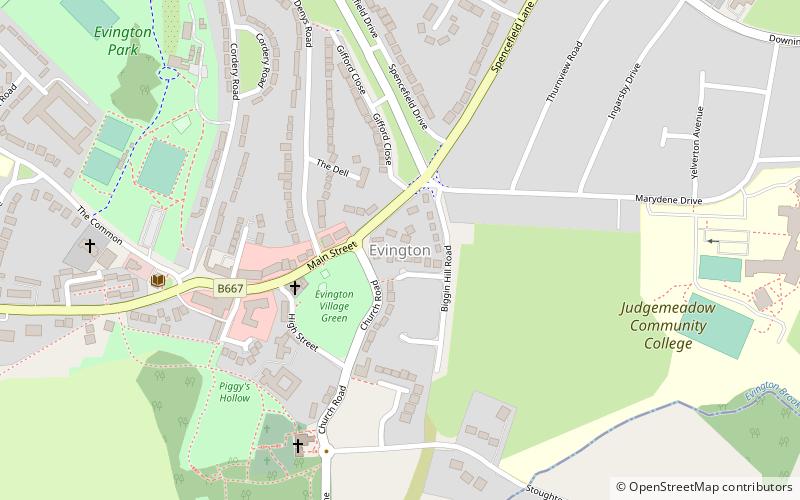
Nearby attractions include Humberstone Park LNR, Leicester (17 min walk), Evington, Leicester (22 min walk).


