Tramp, London
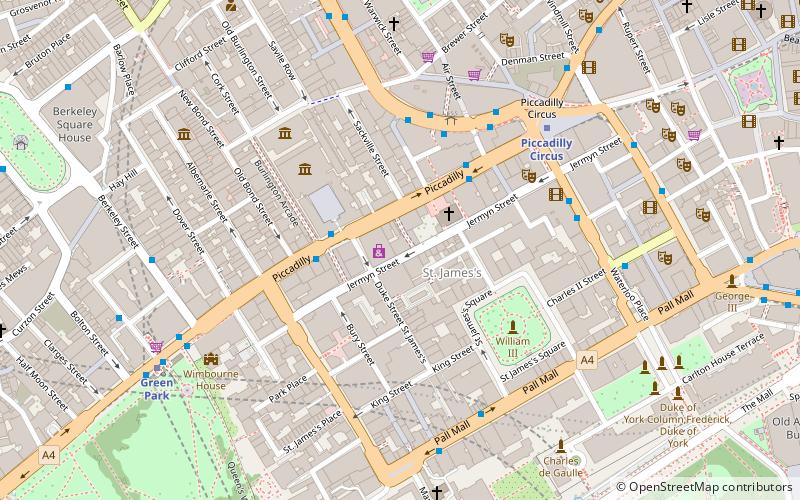
Map
Facts and practical information
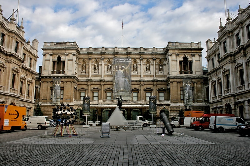
Tramp is a private, members-only nightclub located on Jermyn Street in central London, England. It was founded in 1969 by Johnny Gold, Bill Ofner and Oscar Lerman. The club built a reputation for discretion, banning photography and gossip writers from inside, and is popular with celebrities. ()
Coordinates: 51°30'30"N, 0°8'16"W
Address
City of Westminster (St. James's)London
Contact
+44 20 7734 0565
Social media
Add
Getting there by public transportation
Public transportation stops near this location
- Metro
- Bus
- Train
- Ferry
 Metro
Metro
- Calculate routeOld Bond Street / Royal Academy 2 min walk
- Calculate routePiccadilly Circus 3 min walk
- Calculate routeGreen Park Station 7 min walk
- Calculate routeTrocadero / Haymarket 7 min walk
- Calculate routePiccadilly Circus 5 min walk
- Calculate routeGreen Park 6 min walk
- Calculate routeCharing Cross 13 min walk
- Calculate routeLeicester Square 13 min walk
- Calculate routeCharing Cross 16 min walk
- Calculate routeLondon Victoria 25 min walk
- Calculate routeLondon Waterloo 29 min walk
- Calculate routeLondon Marylebone 40 min walk
- Calculate routeEmbankment 19 min walk
- Calculate routeWestminster Pier 20 min walk
- Calculate routeLondon Eye - Waterloo Pier 21 min walk
- Calculate routeFestival Pier 22 min walk
Maps Tube
Tube
TubeDay trips


Frequently Asked Questions (FAQ)
Which popular attractions are close to Tramp?
Nearby attractions include Jermyn Street, London (1 min walk), The Scotch of St. James, London (2 min walk), St James's, London (2 min walk), The Sladmore Gallery, London (2 min walk).
How to get to Tramp by public transport?
The nearest stations to Tramp:
Bus
Metro
Train
Ferry
Bus
- Old Bond Street / Royal Academy • Lines: 38, N38 (2 min walk)
- Piccadilly Circus • Lines: 38, N38 (3 min walk)
Metro
- Piccadilly Circus • Lines: Bakerloo, Piccadilly (5 min walk)
- Green Park • Lines: Jubilee, Piccadilly, Victoria (6 min walk)
Train
- Charing Cross (16 min walk)
- London Victoria (25 min walk)
Ferry
- Embankment • Lines: Green Tour, Rb1, Rb1X, Rb2, Rb6 (19 min walk)
- Westminster Pier • Lines: Blue Tour, Green Tour, Rb1, Rb1X, Rb2, Red Tour (20 min walk)