Union Jack Club, London
Map
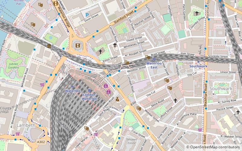
Map

Facts and practical information
The Union Jack Club is an Armed Forces Club in central London, England, for enlisted members and veterans of the British Armed Services and their families. Located near London Waterloo railway station, the club has over 260 rooms for accommodation, restaurant, bar, small library, and a full range of meeting and banqueting rooms. ()
Coordinates: 51°30'13"N, 0°6'38"W
Address
Sandell StreetLambeth (Bishop's)London
Contact
+44 20 7902 6000
Social media
Add
Day trips
Union Jack Club – popular in the area (distance from the attraction)
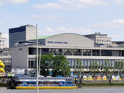
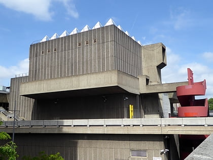
Nearby attractions include: London Dungeon, Sea Life London Aquarium, Royal Festival Hall, Southbank Centre.
Frequently Asked Questions (FAQ)
Which popular attractions are close to Union Jack Club?
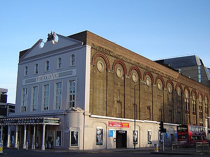
Nearby attractions include The Old Vic, London (3 min walk), St John's Church, London (4 min walk), Young Vic, London (4 min walk), Stamford Street, London (4 min walk).
How to get to Union Jack Club by public transport?
The nearest stations to Union Jack Club:
Bus
Train
Metro
Ferry
Light rail
Bus
- Waterloo Station / Waterloo Road • Lines: 26 (1 min walk)
- Waterloo Station / Mepham Street • Lines: 243 (4 min walk)
Train
- London Waterloo (3 min walk)
- Waterloo East (3 min walk)
Metro
- Waterloo • Lines: Bakerloo, Jubilee, Northern, Waterloo & City (4 min walk)
- Southwark • Lines: Jubilee (6 min walk)
Ferry
- Festival Pier • Lines: Green Tour (11 min walk)
- London Eye - Waterloo Pier • Lines: Rb1, Rb1X, Rb2, Red Tour (11 min walk)
Light rail
- Bank Platform 10 • Lines: B-L, B-Wa (29 min walk)

 Tube
Tube
