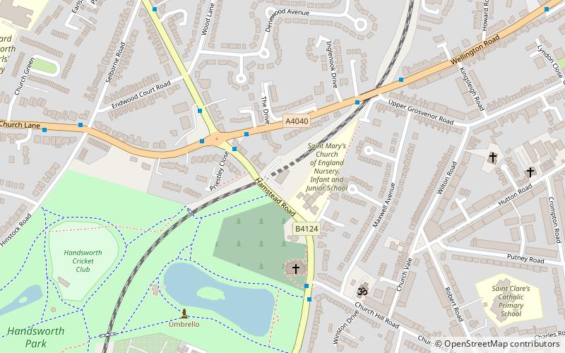
The Endwood, Birmingham
Map

Map

Facts and practical information
The Endwood is a disused grade II listed public house on Hamstead Road, in the Handsworth Wood district of Birmingham, England. ()
Coordinates: 52°30'45"N, 1°55'11"W
Address
Lozells and East HandsworthBirmingham
ContactAdd
Social media
Add
Day trips
The Endwood – popular in the area (distance from the attraction)
Nearby attractions include: Perry Barr Stadium, The Bartons Arms, Handsworth Park, St Mary's Church.
Frequently Asked Questions (FAQ)
Which popular attractions are close to The Endwood?
Nearby attractions include St Mary's Church, Birmingham (3 min walk), Handsworth Park, Birmingham (9 min walk), Shree Geeta Bhawan, Birmingham (15 min walk), St Andrew's Church, Birmingham (18 min walk).
How to get to The Endwood by public transport?
The nearest stations to The Endwood:
Train
Bus
Tram
Train
- Perry Barr (20 min walk)
Bus
- Boulton Rd / Soho Rd • Lines: Sb (25 min walk)
Tram
- Soho, Benson Road • Lines: 1 (30 min walk)
- Winson Green, Outer Circle • Lines: 1 (32 min walk)


