Roadmender, Northampton
Map
Facts and practical information
Roadmender is a live music venue in Lady's Lane, Northampton, England. Set in a former school building, the venue has left an indelible print on generations of the town's teenagers as the only major live venue in the town and the most recognised indie club remaining in regular operation following the closure of Bass Clef in 1999 and the Irish Centre in 1997. ()
Coordinates: 52°14'25"N, 0°53'57"W
Address
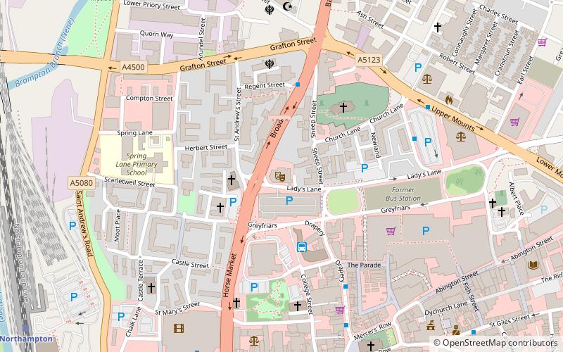
1 Lady's LaneCastleNorthampton
ContactAdd
Social media
Add
Getting there by public transportation
Public transportation stops near this location
- Train
 Train
Train
- Calculate routeNorthampton 10 min walk
Day trips
Roadmender – popular in the area (distance from the attraction)
Nearby attractions include: Grosvenor Centre, County Cricket Ground, Delapré Abbey, All Saints' Church.


Frequently Asked Questions (FAQ)
Which popular attractions are close to Roadmender?
Nearby attractions include Northampton Abbey of St James, Northampton (1 min walk), Northampton Medieval Synagogue, Northampton (3 min walk), The Holy Sepulchre, Northampton (4 min walk), All Saints' Church, Northampton (7 min walk).
How to get to Roadmender by public transport?
The nearest stations to Roadmender:
Train
Train
- Northampton (10 min walk)