London Pavilion, London
Map
Gallery
Facts and practical information
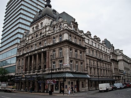
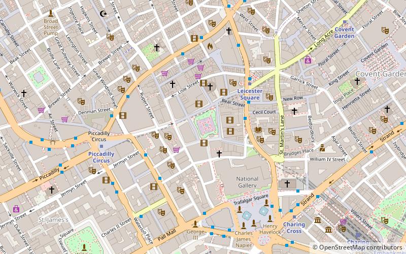
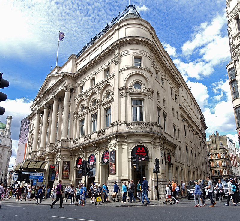
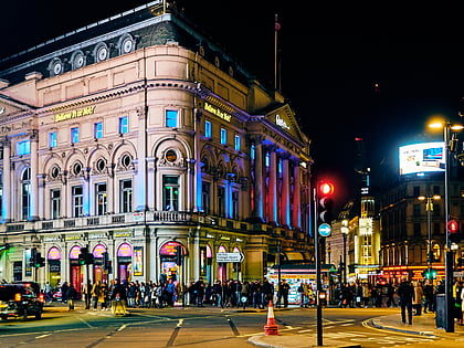
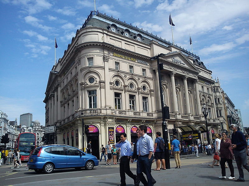
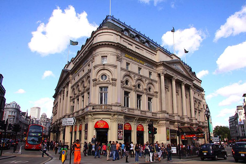
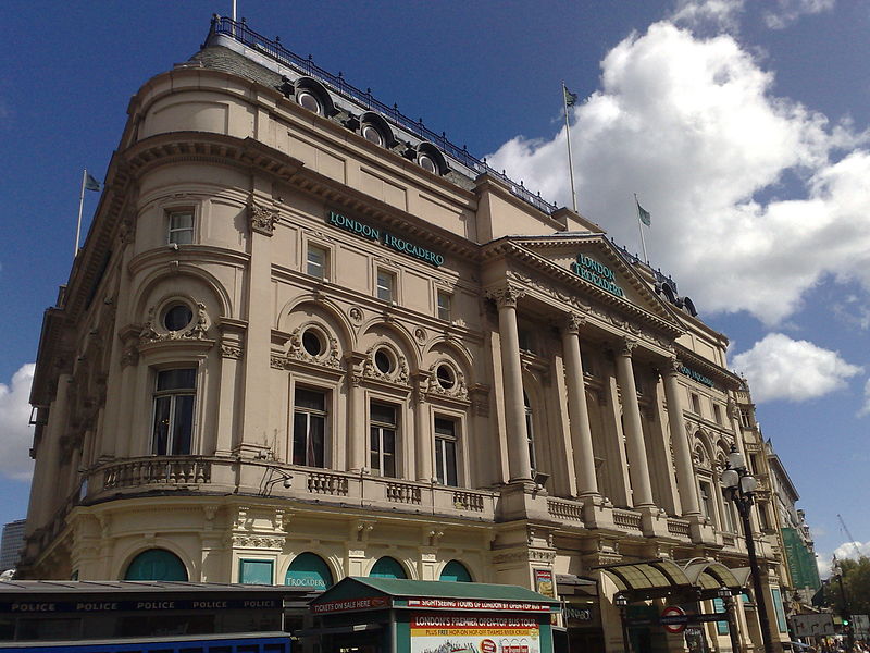
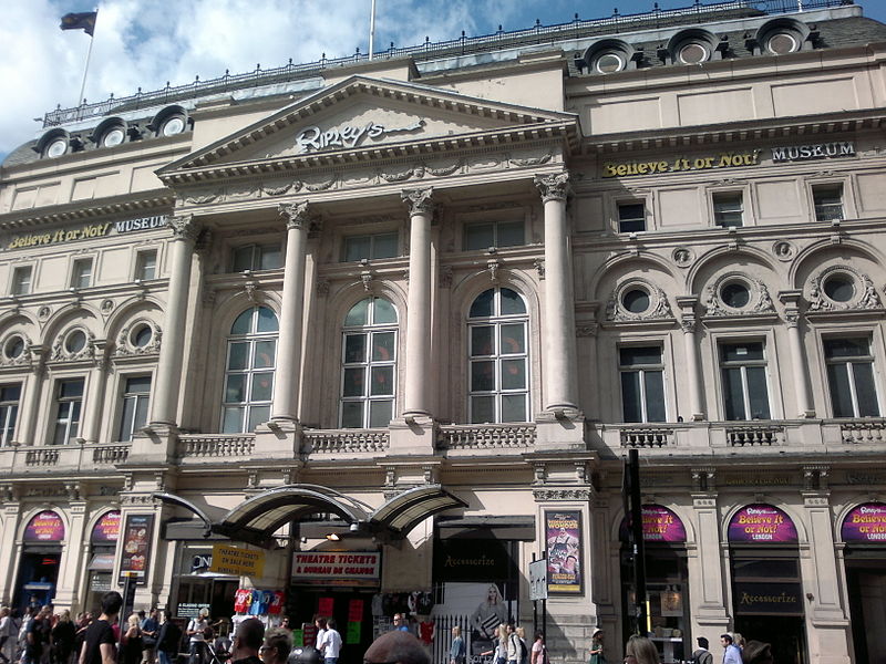
The London Pavilion is a building on the corner of Shaftesbury Avenue and Coventry Street on the north-east side of Piccadilly Circus in London. It is currently a shopping arcade and part of the Trocadero Centre. ()
Coordinates: 51°30'37"N, 0°8'2"W
Day trips
London Pavilion – popular in the area (distance from the attraction)
Nearby attractions include: Piccadilly Market, Brewer Street, Her Majesty's Theatre, Criterion Theatre.
Frequently Asked Questions (FAQ)
Which popular attractions are close to London Pavilion?
Nearby attractions include Piccadilly Circus, London (1 min walk), Criterion Theatre, London (1 min walk), London Trocadero, London (2 min walk), Shaftesbury Memorial Fountain, London (2 min walk).
How to get to London Pavilion by public transport?
The nearest stations to London Pavilion:
Bus
Metro
Train
Ferry
Bus
- Trocadero / Haymarket • Lines: 38, N38 (1 min walk)
- Piccadilly Circus • Lines: 38, N38 (4 min walk)
Metro
- Piccadilly Circus • Lines: Bakerloo, Piccadilly (2 min walk)
- Leicester Square • Lines: Northern, Piccadilly (7 min walk)
Train
- Charing Cross (13 min walk)
- London Waterloo (27 min walk)
Ferry
- Embankment • Lines: Green Tour, Rb1, Rb1X, Rb2, Rb6 (15 min walk)
- Festival Pier • Lines: Green Tour (19 min walk)


 Tube
Tube