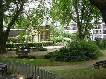
Rivington Place, London
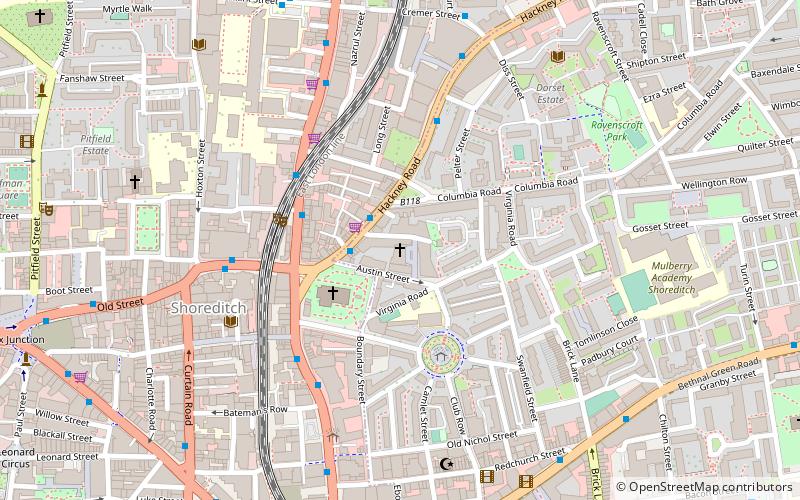
Map
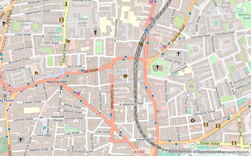
Map

Facts and practical information
Rivington Place is a purpose-built international visual arts centre in Shoreditch, London. ()
Coordinates: 51°31'35"N, 0°4'46"W
Address
Hackney (Haggerston)London
Contact
+44 20 7749 1240
Social media
Add
Day trips
Rivington Place – popular in the area (distance from the attraction)
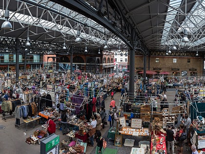
Nearby attractions include: Museum of the Home, Old Spitalfields Market, Shoreditch, Brick Lane Market.
Frequently Asked Questions (FAQ)
Which popular attractions are close to Rivington Place?
Nearby attractions include Iniva, London (1 min walk), Shoreditch, London (1 min walk), Hoxton Square, London (4 min walk), Inn-yard theatre, London (4 min walk).
How to get to Rivington Place by public transport?
The nearest stations to Rivington Place:
Bus
Train
Metro
Light rail
Ferry
Bus
- Shoreditch Town Hall • Lines: 55, N55 (2 min walk)
- Shoreditch Church • Lines: 242, 26, 55, N242, N26, N55 (3 min walk)
Train
- Shoreditch High Street (8 min walk)
- Hoxton (11 min walk)
Metro
- Old Street • Lines: Northern (10 min walk)
- Liverpool Street • Lines: Central, Circle, Hammersmith & City, Metropolitan (16 min walk)
Light rail
- Bank Platform 10 • Lines: B-L, B-Wa (28 min walk)
- Tower Gateway Platform 1 • Lines: Tg-B (29 min walk)
Ferry
- Blackfriars Pier • Lines: Rb6 (37 min walk)

 Tube
Tube
