Greatfields Park, Chigwell
Map

Map

Facts and practical information
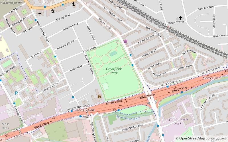
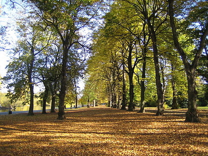
Greatfields Park, in the London Borough of Barking and Dagenham, east London, is a public park of just under 6 hectares. It lies just north of the A13 road, and is bounded on other sides by Greatfields Road, Movers Lane, and Perth Road. ()
Elevation: 10 ft a.s.l.Coordinates: 51°31'52"N, 0°5'25"E
Address
Barking and Dagenham (Barking)Chigwell
ContactAdd
Social media
Add
Day trips
Greatfields Park – popular in the area (distance from the attraction)
Nearby attractions include: Barking Park, Mayesbrook Park, St Erkenwald's Church, Capital Karts.
Frequently Asked Questions (FAQ)
Which popular attractions are close to Greatfields Park?
Nearby attractions include Eastbury Manor House, London (12 min walk), Barking Learning Centre, Chigwell (15 min walk), London Borough of Barking and Dagenham, Chigwell (16 min walk), Barking Market, London (17 min walk).
How to get to Greatfields Park by public transport?
The nearest stations to Greatfields Park:
Bus
Metro
Bus
- Greatfields Park • Lines: El1, El2, El3 (2 min walk)
- River Road • Lines: 173, 673 (4 min walk)
Metro
- Upney • Lines: District (17 min walk)
- Barking • Lines: District, Hammersmith & City (20 min walk)


