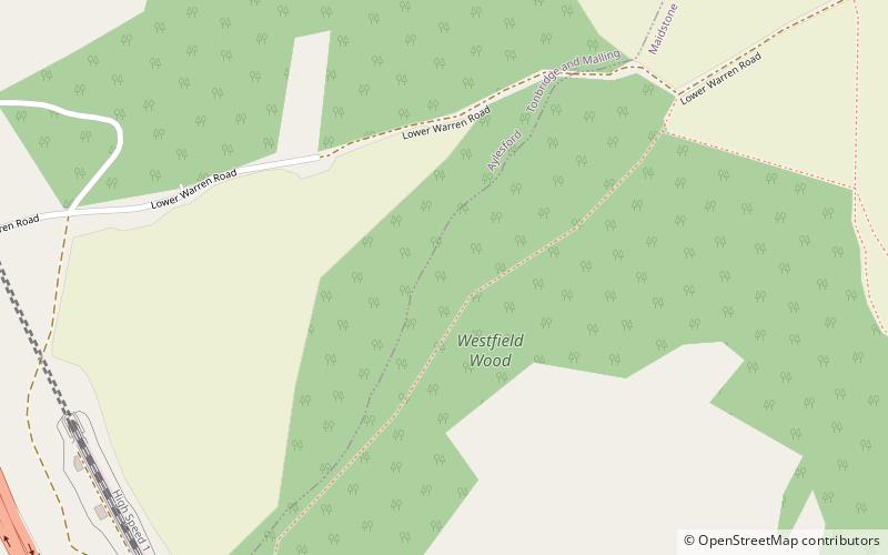
Westfield Wood, Maidstone
Map
Facts and practical information
Westfield Wood is a 5-hectare nature reserve north of Maidstone in Kent, which is managed by the Kent Wildlife Trust. It is part of the Wouldham to Detling Escarpment Site of Special Scientific Interest and Nature Conservation Review site, Grade I. It is also in the North Downs Woodlands Special Area of Conservation and the Kent Downs Area of Outstanding Natural Beauty. ()
Elevation: 545 ft a.s.l.Coordinates: 51°19'6"N, 0°31'8"E
Address
BoxleyMaidstone
ContactAdd
Social media
Add
Day trips


Frequently Asked Questions (FAQ)
Which popular attractions are close to Westfield Wood?
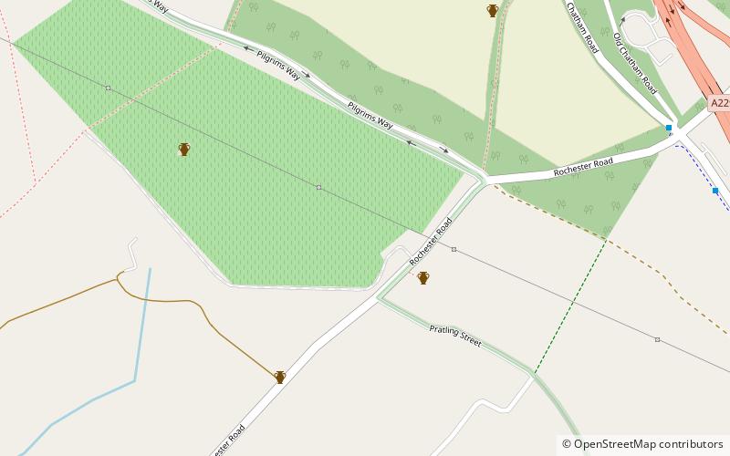
Nearby attractions include Scheduled monuments in Maidstone, Maidstone (8 min walk), Boxley Warren, Maidstone (11 min walk), Kit's Coty House, Aylesford (18 min walk), Medway Megaliths, Maidstone (22 min walk).