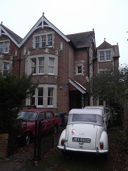
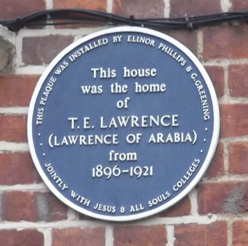
Polstead Road, Oxford

Gallery (5)
Map

Map

Gallery
Facts and practical information
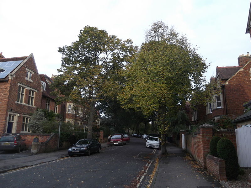
Polstead Road is a residential road that runs between Kingston Road and Hayfield Road to the west and the Woodstock Road to the east, in the suburb of North Oxford, England. Halfway along it forms the southern junction of Chalfont Road. The road is probably named after the village of Polstead in the county of Suffolk. ()
Coordinates: 51°46'4"N, 1°16'4"W
Getting there by public transportation
Public transportation stops near this location
- Bus
- Train
 Bus
Bus
- Calculate routeSt Margarets Road 3 min walk
- Calculate routePlantation Road 10 min walk
- Calculate routeFerry Pool Road 14 min walk
- Calculate routeOxford 26 min walk
Day trips
Polstead Road – popular in the area (distance from the attraction)
Nearby attractions include: North Parade, Phoenix Picturehouse, Oxford Centre for Mission Studies, Walton Well Road.


Frequently Asked Questions (FAQ)
Which popular attractions are close to Polstead Road?
Nearby attractions include St Margaret's Church, Oxford (3 min walk), Chalfont Road, Oxford (3 min walk), Hayfield Road, Oxford (3 min walk), Aristotle Lane, Oxford (4 min walk).
How to get to Polstead Road by public transport?
The nearest stations to Polstead Road:
Bus
Train
Bus
- St Margarets Road • Lines: 35, 853 (3 min walk)
- Plantation Road • Lines: 35, 853 (10 min walk)
Train
- Oxford (26 min walk)