Lawrence Buildings, Manchester
Map
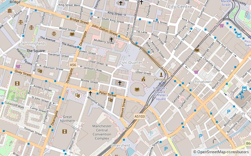
Map

Facts and practical information
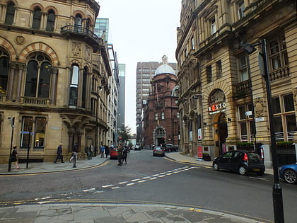
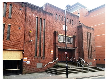
Lawrence Buildings in Mount Street, Manchester, England, is a Victorian office block constructed for the Inland Revenue in 1874–6 by Pennington and Bridgen in the Gothic Revival style. It is a Grade II* listed building as of 3 October 1974. ()
Architectural style: Gothic revivalCoordinates: 53°28'43"N, 2°14'44"W
Address
City CentreManchester
ContactAdd
Social media
Add
Day trips
Lawrence Buildings – popular in the area (distance from the attraction)
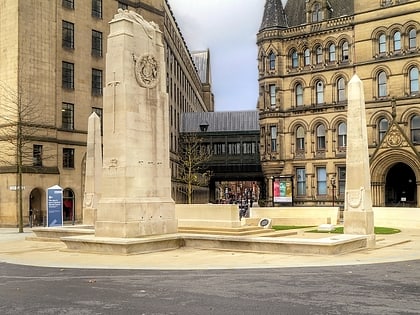
Nearby attractions include: Deansgate, King Street, Manchester Art Gallery, Albert Square.
Frequently Asked Questions (FAQ)
Which popular attractions are close to Lawrence Buildings?
Nearby attractions include Manchester Town Hall Extension, Manchester (2 min walk), Manchester Central Library, Manchester (2 min walk), Albert Square, Manchester (2 min walk), Manchester Town Hall, Manchester (2 min walk).
How to get to Lawrence Buildings by public transport?
The nearest stations to Lawrence Buildings:
Bus
Tram
Train
Bus
- Manchester City Centre, Peter Street / Edwardian Hotel • Lines: 191, 197 (3 min walk)
- Albert Square, Princess Street / Town Hall • Lines: 191, 197, 50, X43 (3 min walk)
Tram
- St. Peter's Square • Lines: Airp, Altr, Asht, Bury, Eccl, EDid, Mcuk, Picc, Roch, Shaw, Vict (3 min walk)
- Deansgate-Castlefield • Lines: Airp, Altr, Asht, Bury, Dean, Eccl, EDid, Mcuk, Picc, Roch, Shaw, Vict (9 min walk)
Train
- Manchester Oxford Road (10 min walk)
- Deansgate (10 min walk)

 Metrolink
 Metrolink / Rail
