Bishops Park, London
Map

Map

Facts and practical information
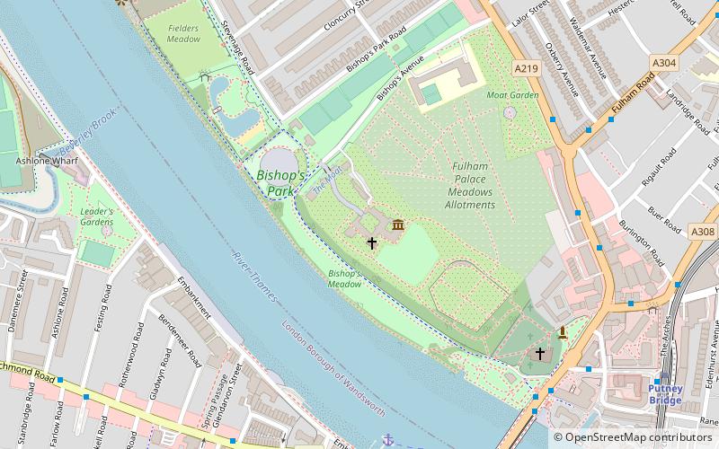
Bishops Park is a park in Fulham, West London. The park was opened by the London County Council in 1893, on land given by the Ecclesiastical Commissioners. It is listed Grade II on the register of parks and gardens of special historic interest maintained by English Heritage. ()
Elevation: 26 ft a.s.l.Coordinates: 51°28'14"N, 0°12'58"W
Address
Hammersmith and Fulham (Palace Riverside)London
ContactAdd
Social media
Add
Day trips
Bishops Park – popular in the area (distance from the attraction)
Nearby attractions include: Craven Cottage, Putney Exchange, Fulham Palace, Bricklayer's Arms.
Frequently Asked Questions (FAQ)
Which popular attractions are close to Bishops Park?
Nearby attractions include Fulham Palace, London (1 min walk), Vesta Rowing Club, London (6 min walk), All Saints Church, London (6 min walk), Putney Sculpture Trail, London (7 min walk).
How to get to Bishops Park by public transport?
The nearest stations to Bishops Park:
Ferry
Bus
Metro
Train
Ferry
- Putney Pier • Lines: Rb6 (6 min walk)
- Wandsworth Riverside Quarter Pier • Lines: Rb6 (23 min walk)
Bus
- Fulham Road • Lines: 220, 430, 74, N33, N72, N74 (6 min walk)
- Ruvigny Gardens • Lines: 22, 265, 378, 485, N22, N33, N72 (7 min walk)
Metro
- Putney Bridge • Lines: District (9 min walk)
- Parsons Green • Lines: District (19 min walk)
Train
- Putney (17 min walk)
- Barnes (29 min walk)

 Tube
Tube


