Portgate, Hadrian's Wall
Map

Gallery

Facts and practical information
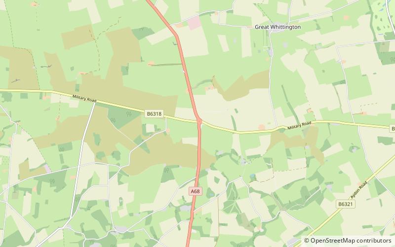
The Portgate was a fortified gateway, constructed as part of Hadrian's Wall where it crossed the Roman road now known as Dere Street, which preceded Hadrian's Wall by around 50 years. It was built to control traffic along Dere Street as it passed north through Hadrian's Wall. The gate's remains exist beneath the old B6318 Military Road to the south-west of the Stagshaw Roundabout. ()
Coordinates: 55°0'46"N, 2°1'18"W
Address
Hadrian's Wall
ContactAdd
Social media
Add
Day trips
Portgate – popular in the area (distance from the attraction)
Nearby attractions include: Halton Castle, Milecastle 21, Hunnum, Milecastle 22.
Frequently Asked Questions (FAQ)
Which popular attractions are close to Portgate?
Nearby attractions include Milecastle 22, Hadrian's Wall (4 min walk), Hunnum, Hadrian's Wall (17 min walk), Halton Castle, Hadrian's Wall (22 min walk), Milecastle 21, Hadrian's Wall (24 min walk).


